Richway, Railway, Ridgeway
We’re back on the Ridgeway National Trail (last visited in 2024 – blog 136), but the irony is that we are nowhere near a dry chalky ridge but deep in the water meadows of the Thames Valley. It’s rather embarrassing really: the Ridgeway path trails along the left bank of the Thames, feeling very out of character, while the Thames Path strides along the right bank, looking smug, appropriate and locally distinctive. Those of us on the Ridgeway trail are negotiating a massive dogleg arranged to enable a crossing of the Thames and a northward thrust before turning east to find another ridge to walk along. Those on the Thames Path are striding upstream and will soon be heading west to Oxford.
‘Quiet earthworks and silent fields hold secrets that are waiting to be discovered’. Thus speaks the National Trails’ Historic Ridgeway Project (https://www.nationaltrail.co.uk/en_GB/trails/the-ridgeway/historic_ridgeway/) which focuses on the stretch from Ashby east of Swindon (and long since passed by Terroir) to Wallingford (a Thames-side town from which we will get a bus tonight). Today’s walk starts from Goring, just over six miles to the south. ‘Silent fields’ sounds good.
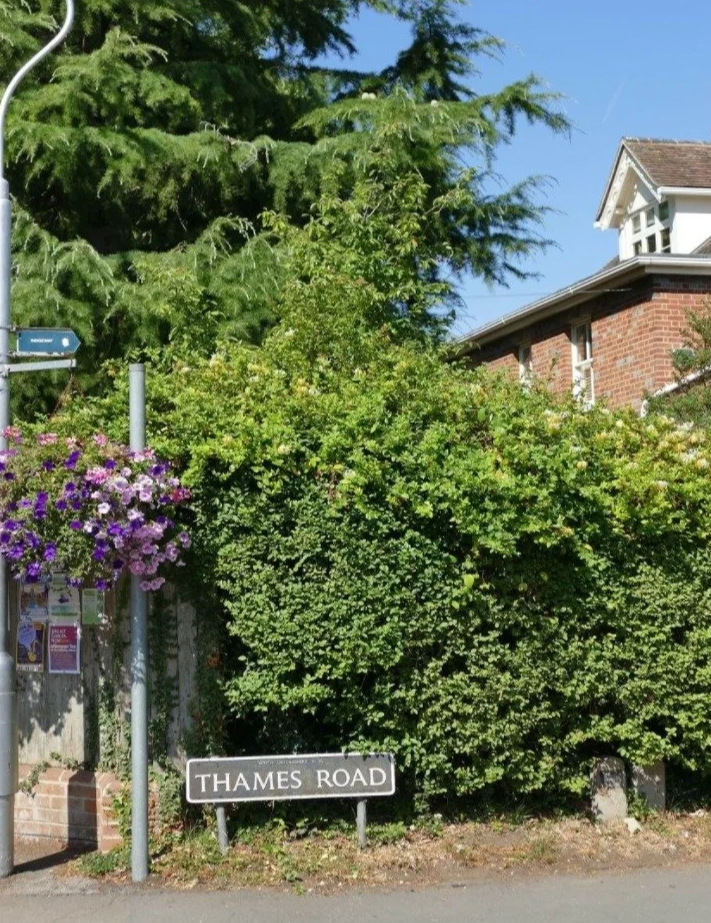
Actually it’s silent suburbia. On the right bank, the Thames Path enjoys the grassy slopes between Streatley and the river (although the experience is probably marred by the sounds from the A329 heading off to Reading). On the other side we are squeezed between the Thames and the edge of Goring’s built-up area, perched high on the river bluffs. This is the land of affluence and intensive privacy. The path is tightly enclosed, as if to say, ‘if we can’t see the river then we’ll ensure that you don’t either’.
From now on we are channelled between a combination of high hedges, high walls and high fences. The purveyors of close board fencing must be very happy and the tree surgeons and hedge cutters ecstatic, but anyone suffering from claustrophobia is advised to skip this section.
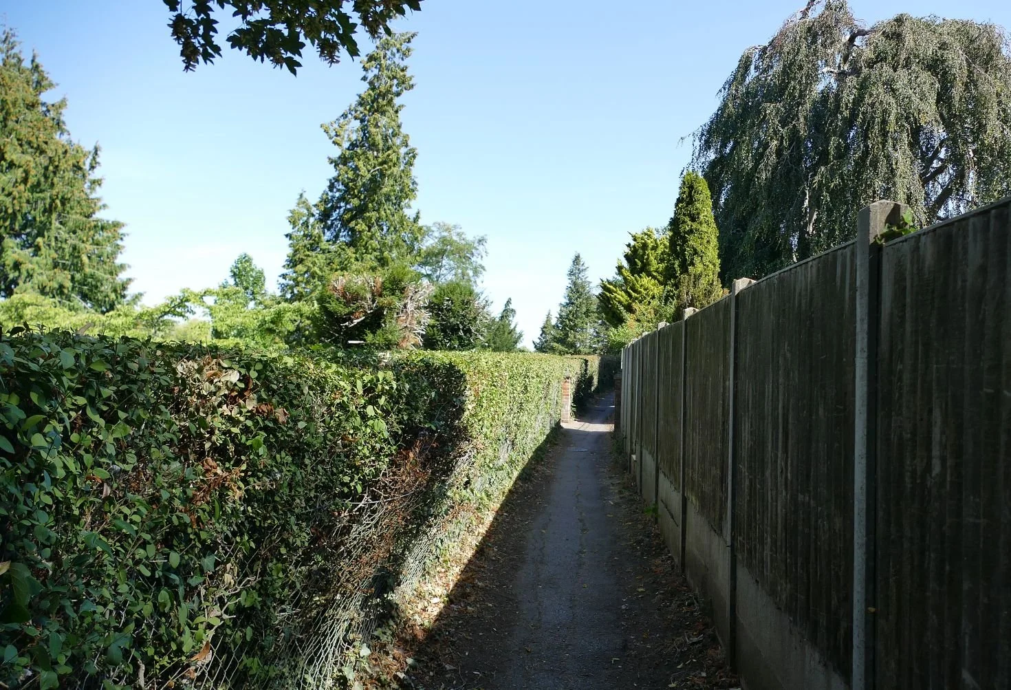
As suburbia thins out (first old Goring, then newer infill) things begin to relax a little, but vintage estate fencing – the boundary markers of an older order - can still be found amongst the shaggier, more relaxed trail-sides.
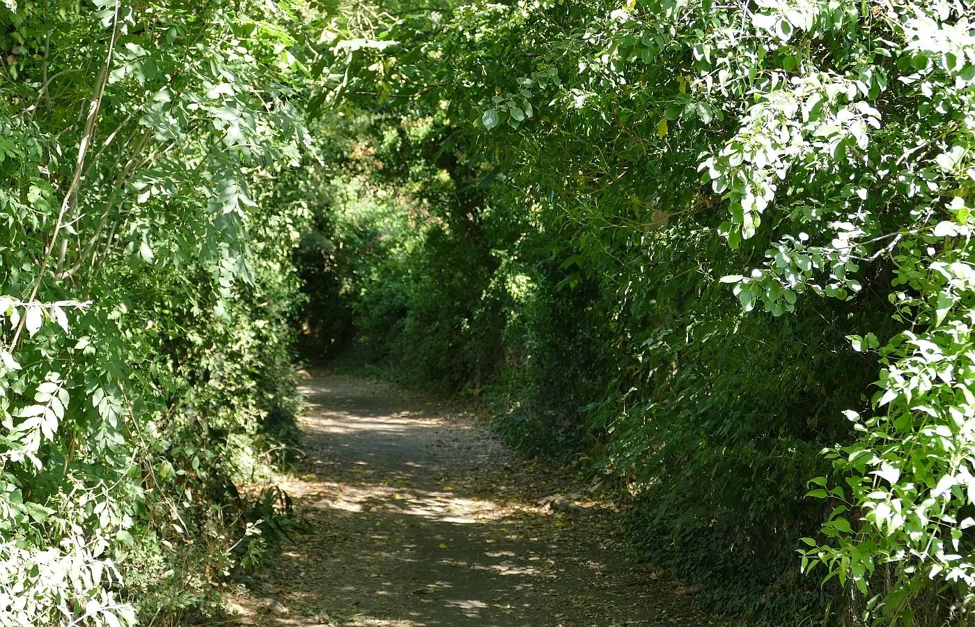
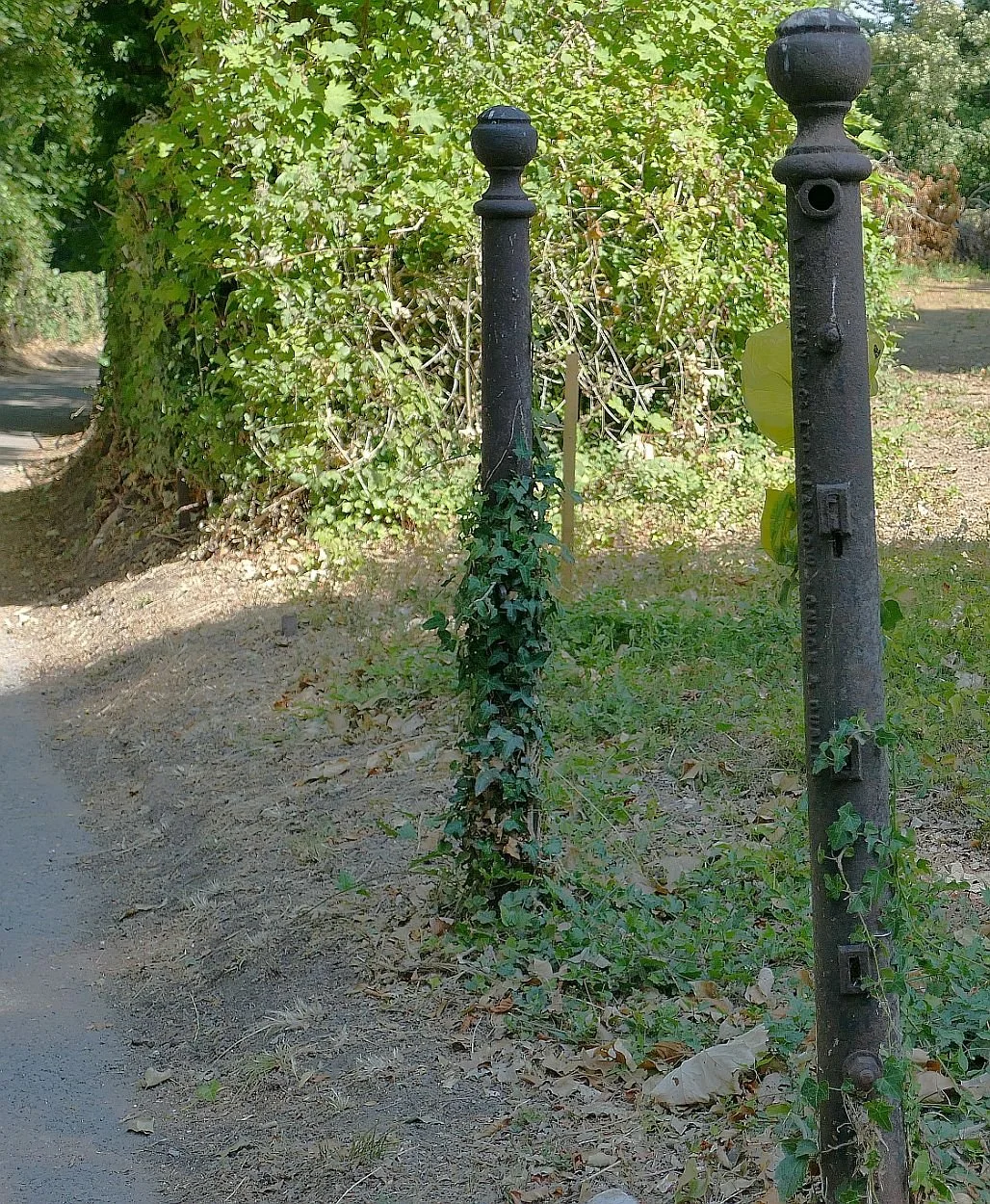
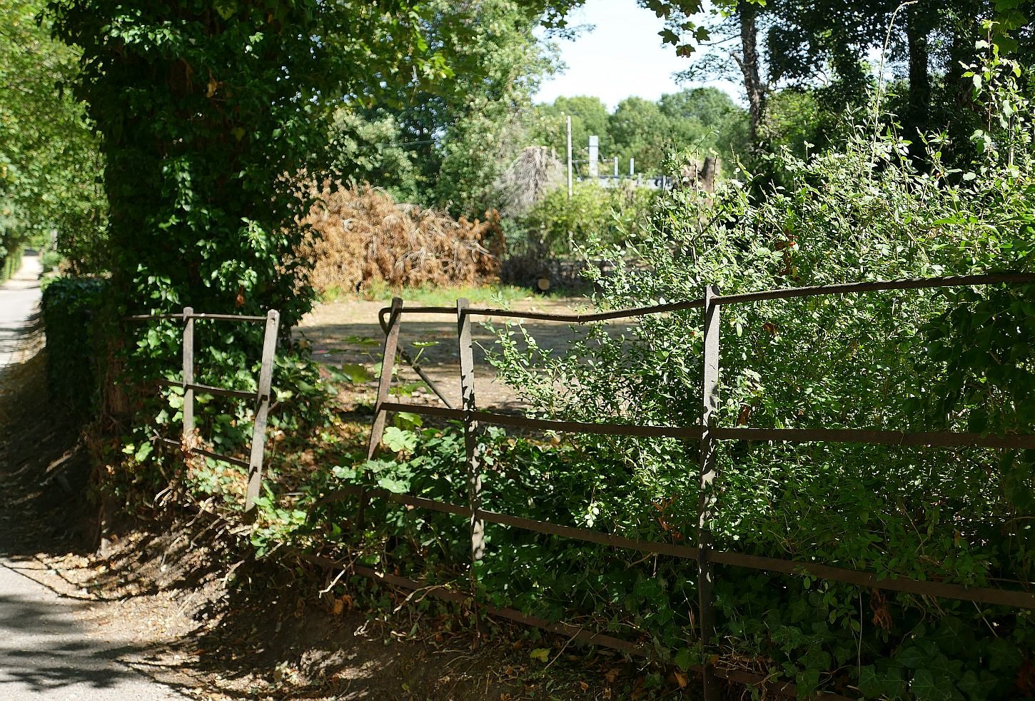
But what’s that, lurking beyond the undergrowth beyond the railings (above right)? Some strange 21st century sculpture made up of grey steles (or is it stelae)? You’re right; it’s the outward expression of a modern railway, in this case based on Brunel’s Great Western line from London Paddington to Bristol. In my mind’s eye, that estate railing is a favourite vantage point for little boys with drooping socks, shouting with delight as the iconic steam engine no. 4073, ‘Caerphilly Castle’ (wheel arrangement 4-6-0) thunders through. We will see and hear a lot more of that railway as we progress.
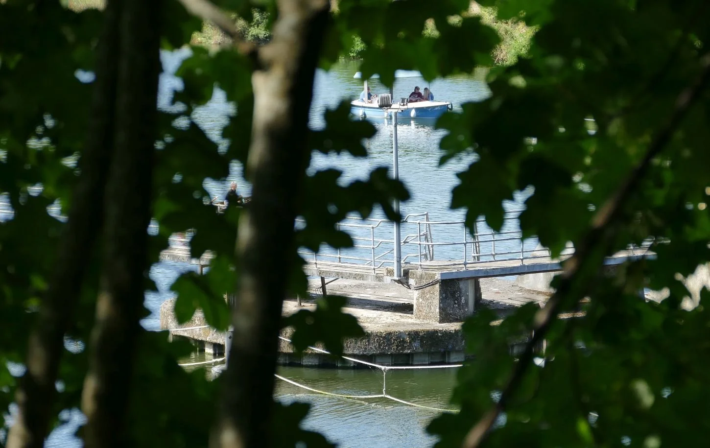
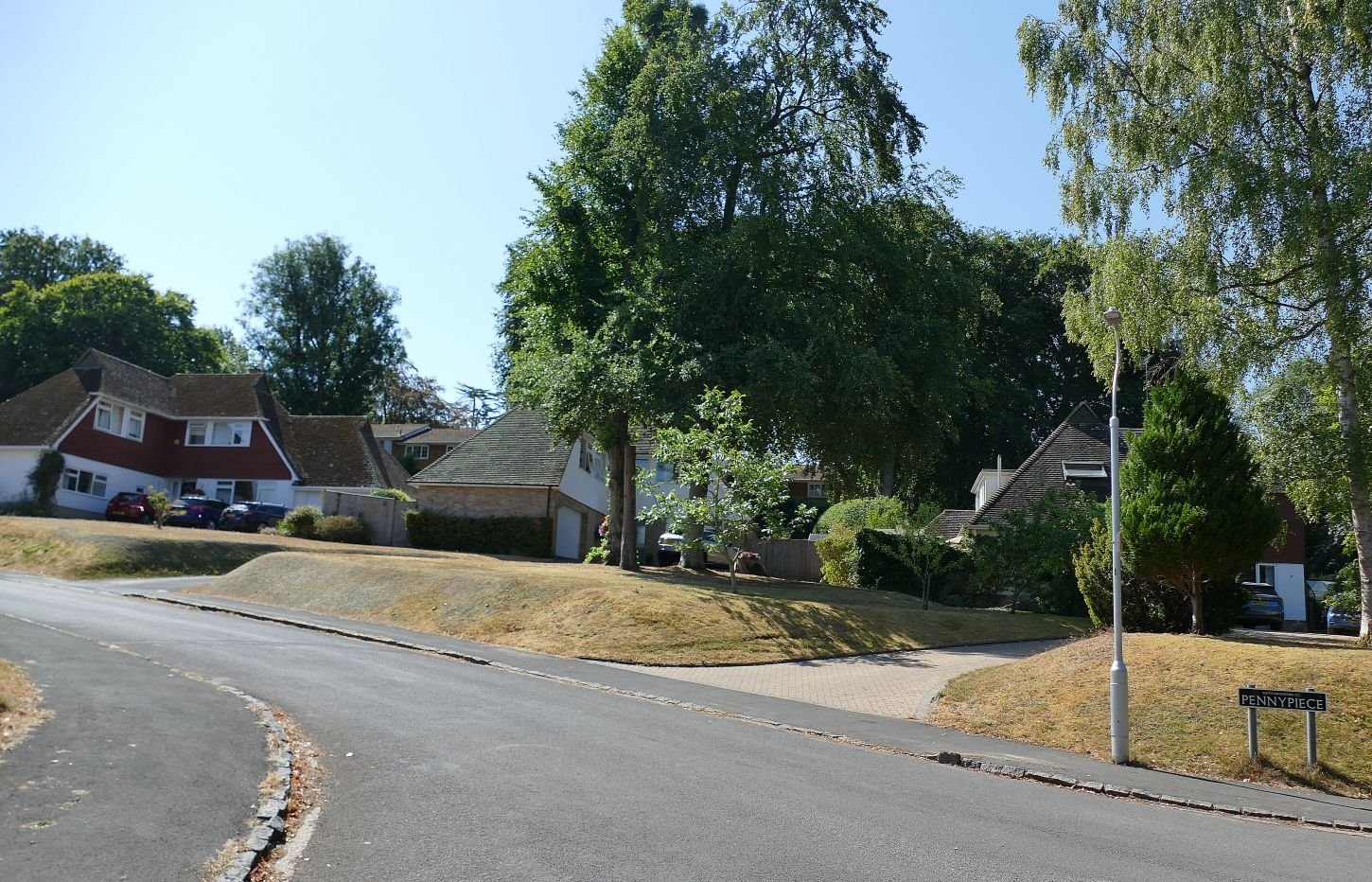
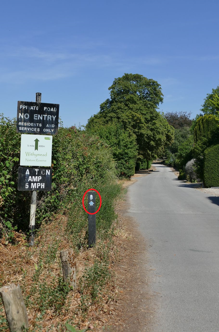
The trail has now morphed into a metalled road. Are we welcome? Are we lost? No, the Trail way-marking team have taken pity on us. If we look carefully, we have our very own tiny sign empowering us to continue despite being neither residents nor services. Domestic enclosure is still important however but has the relaxed look of a 1950s living room rather than the previous Edwardian formality. We are even allowed a glimpse of a Thames-side sailing club.
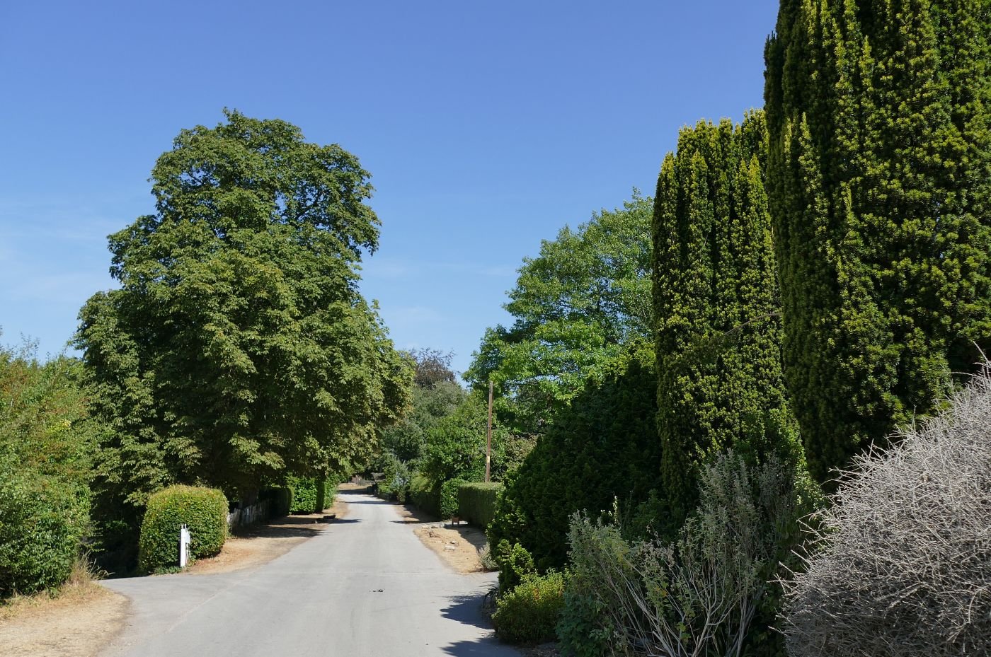
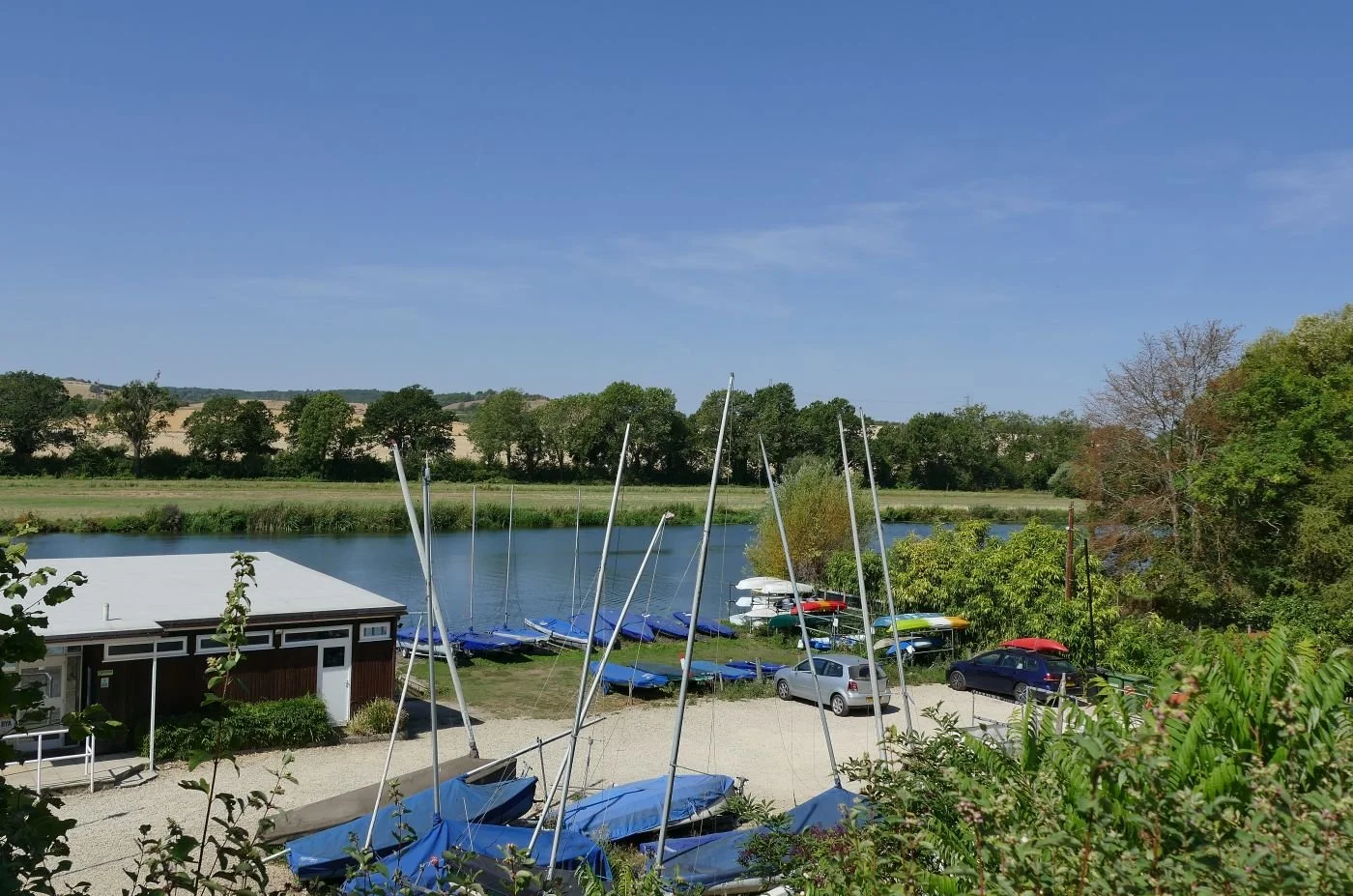
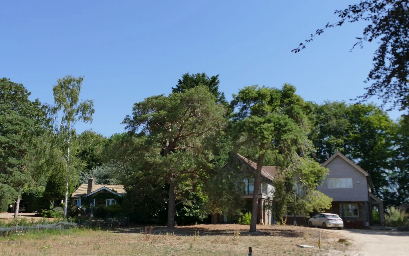
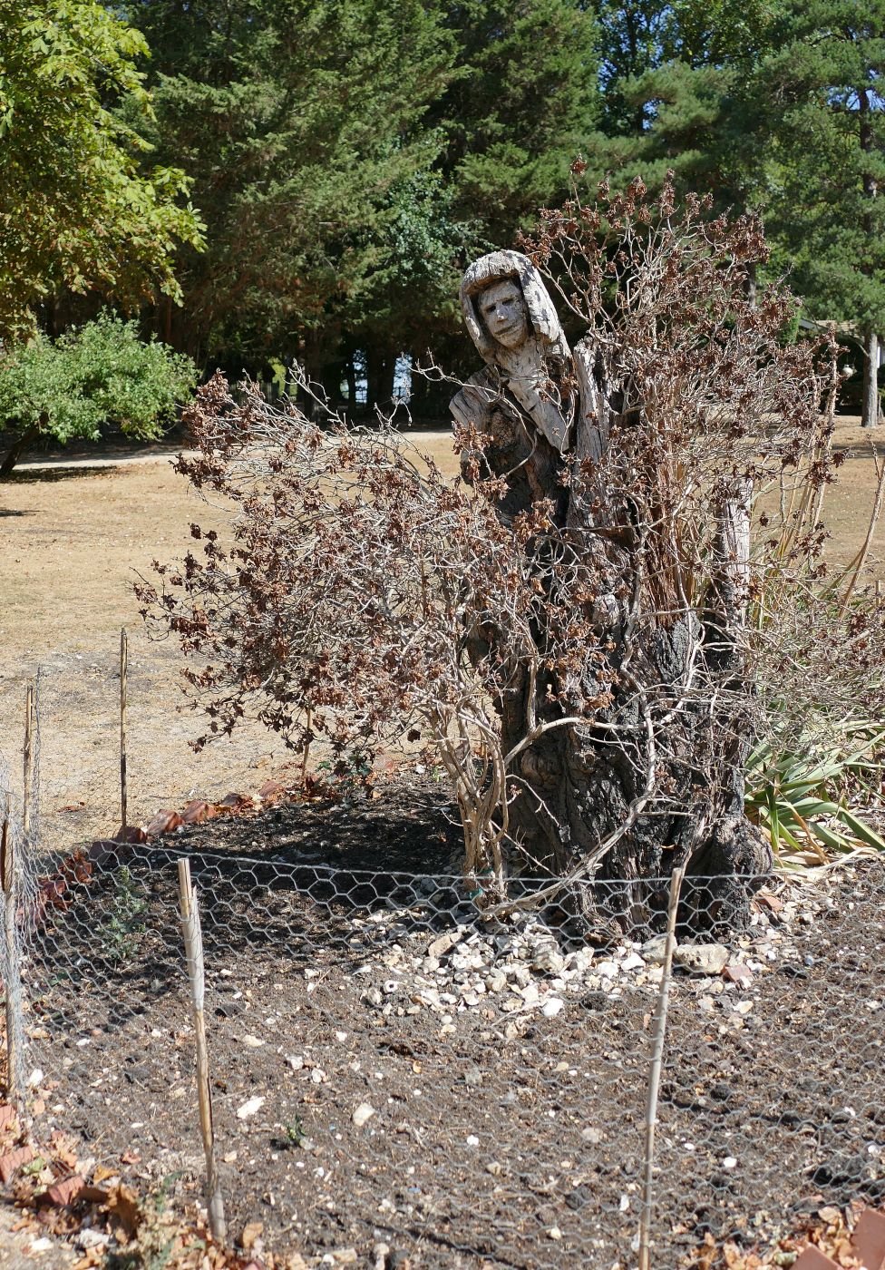
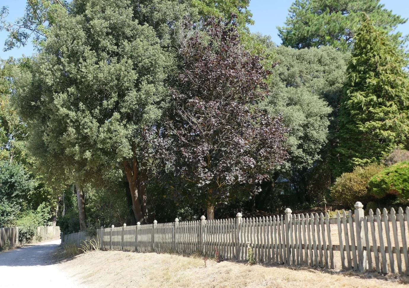
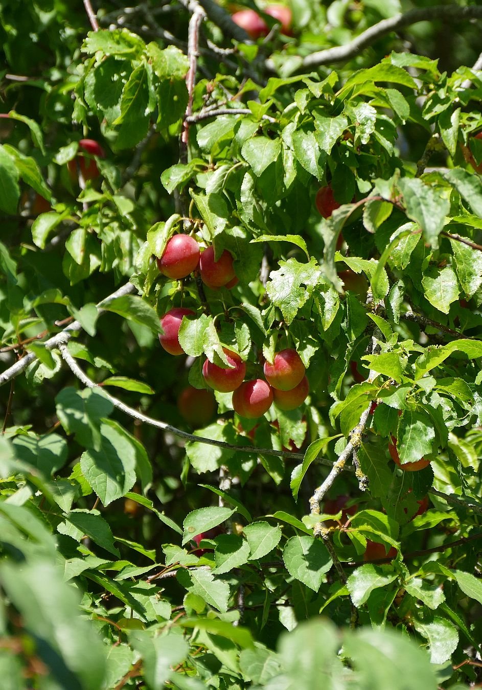
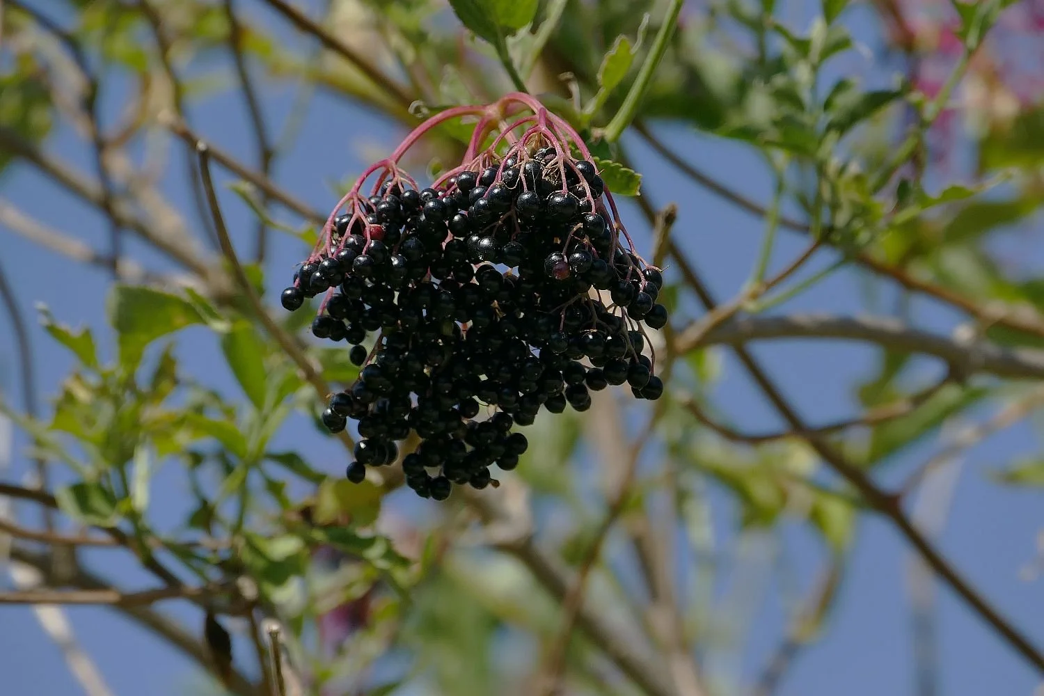
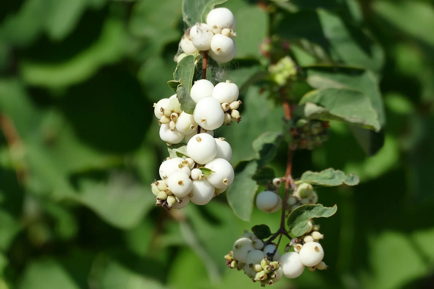
Moving on, the impact of the hot weather is now very visible. Lawns are parched and brown but trees and shrubs are gloriously, if unseasonably, laden with fruit and offer the potential for a more generous 2027.

As hinted at above, there is another impact on the Trail which is totally unconnected with the weather but is both very visible and very loud. This is the engineering-scape of Brunel’s railway, currently run by the private transport company, FirstGroup, who have retained the branding of GWR. They are shortly to be nationalised. Again.

In the 19th century the GWR quickly came to be known as ‘God’s Wonderful Railway’ by its admirer. Alternative names the ‘Holiday Line’ as it was extended further and further into the West Country, and the ‘Great Way Round’, due, apparently, to its somewhat circuitous routes in its early days.
Image right by Felipe Fidelis Tobias - This vector image includes elements that have been taken or adapted from this file:, CC BY-SA 4.0, https://commons.wikimedia.org/w/index.php?curid=126538178
God’s Wonderful Railway is due to be nationalised - again - this coming December.
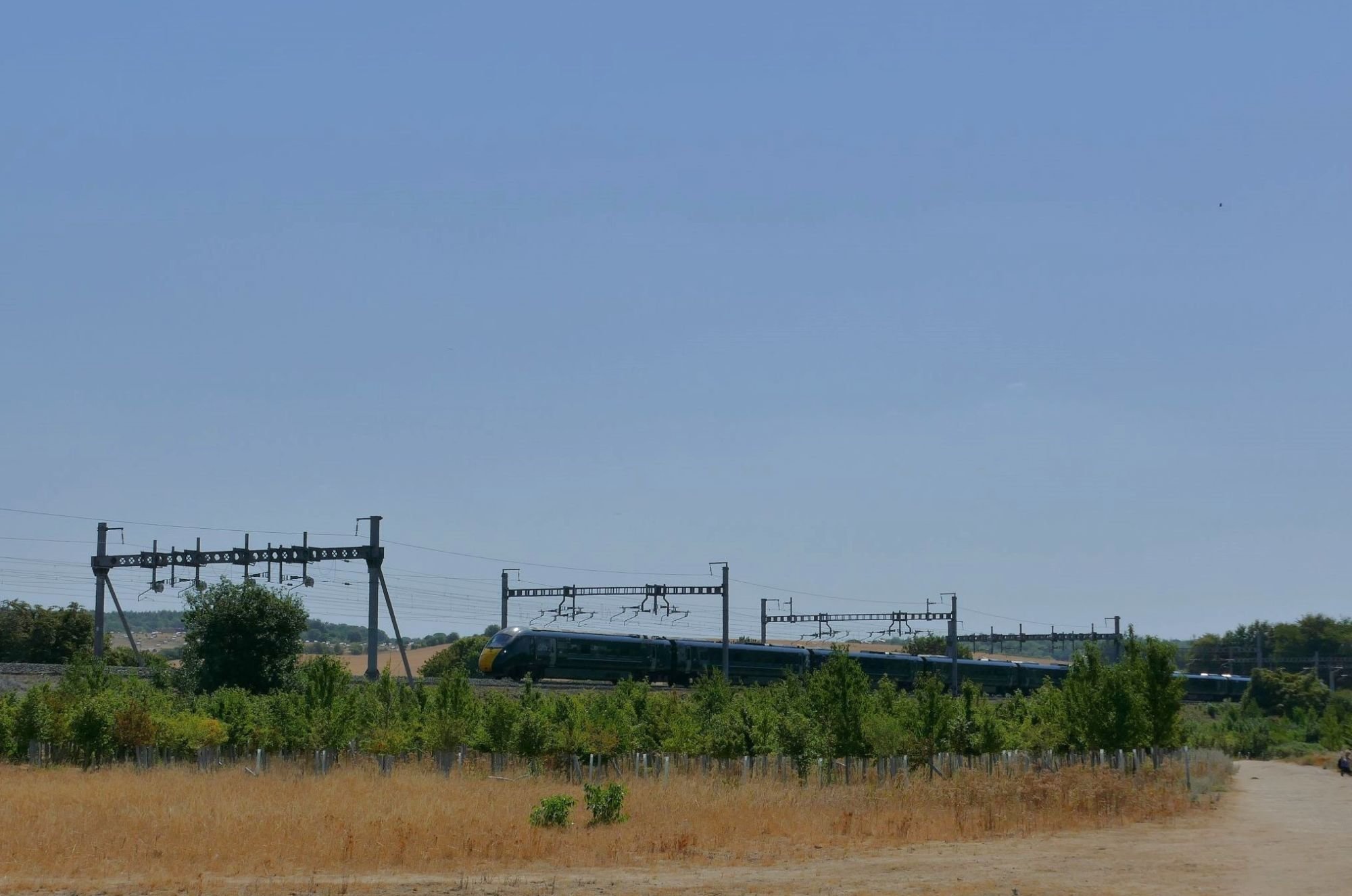
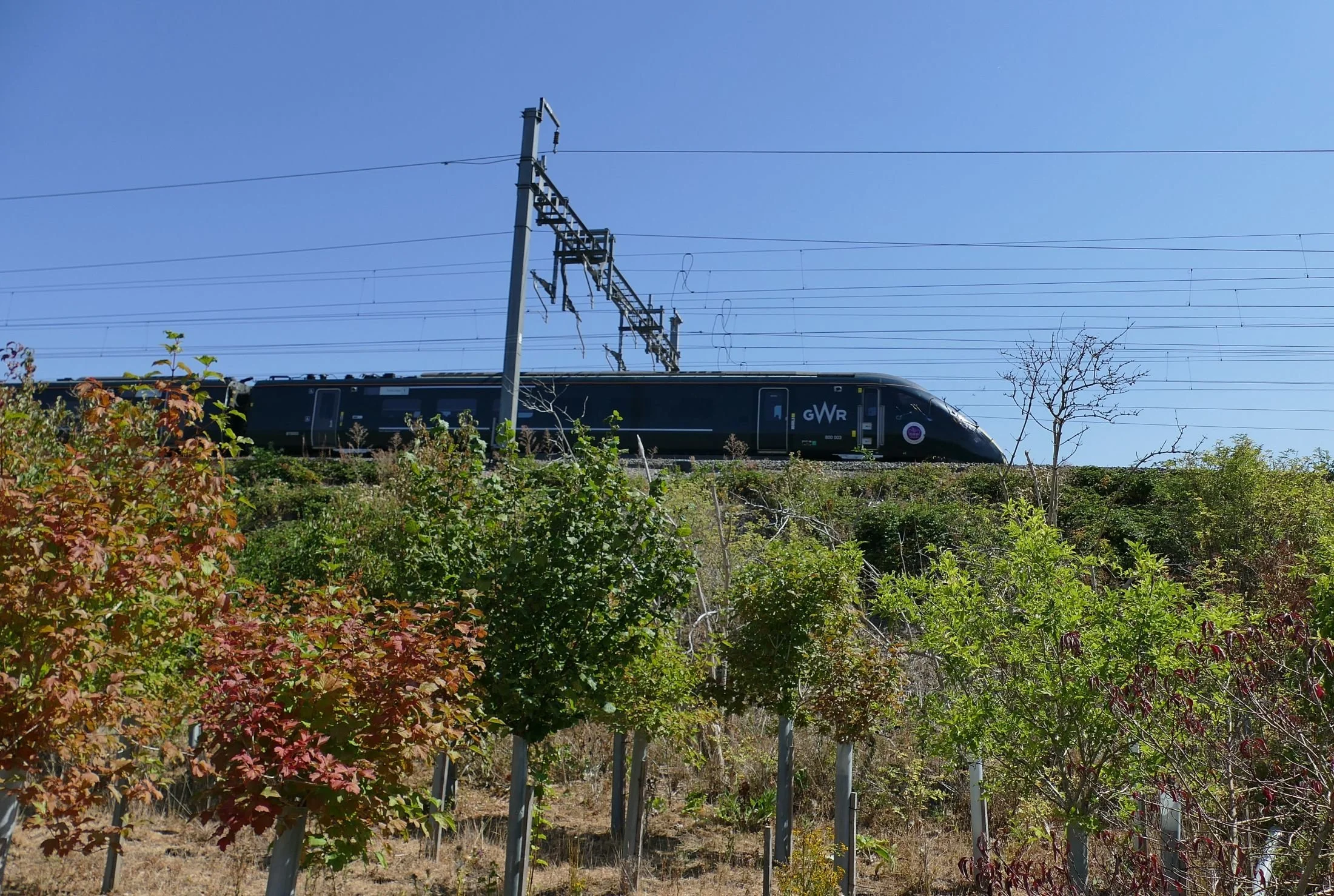
We doubt that many schoolboys hang off railings to view the mighty diesel locomotives which thunder past in the 21st century, but walkers on this section of the Ridgeway quickly become aware of the impact of this now enormous piece of infrastructure.
Elevated on their embankment, the passing trains roar through at anything between 70 and 125mph, and at an alarming frequency. We can now see that those grey posts, which we merely glimpsed on leaving Goring are, in fact, the tops of an enormous linear landscape of gantries and overhead wires, thrashing through the Thames valley.
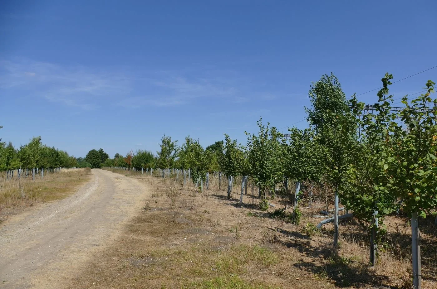
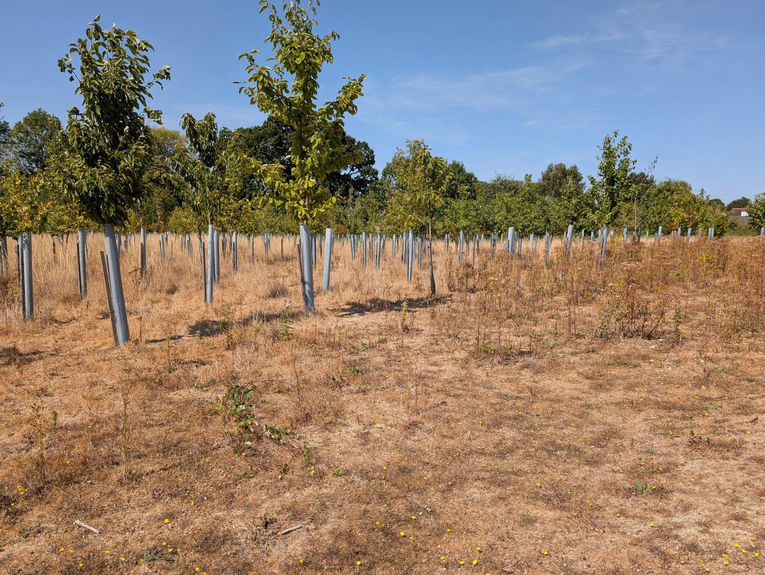
The walking trail, already dwarfed and deafened by the railtrail, is also forced to traverse through some sort of moonscape, planted with a veritable regiment of one legged arboreal soldiers, somehow surviving in a parched and battered landscape tempered by the occasional clump of Viper’s Bugloss and Spear Thistle.

We assume this is some sort of railway engineering access and lay-down area, surreally ‘reinstated’ by a giant with a tree nursery. We also hope there is a mundane explanation, accompanied by a long term landscape management plan to at least ensure that those tree shelters (tree stockings? tree thigh-high boots?) are removed at the appropriate moment.

A saunter through the historic village of South Stoke provides an interlude of welcome recuperation. The village seems to have it all - vernacular architecture, some modern housing, a pub, a church, an imposing vicarage, a school, a community shop, a bus service, lovely brickwork, well kept thatch, access to the Thames and, to cap it all, the Ridgeway National Trail. And, just to remind us that perfection is impossible, somewhere, hidden away, is a busy railway line sweeping around the village outskirts to the east.
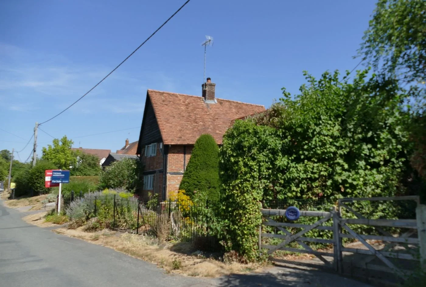
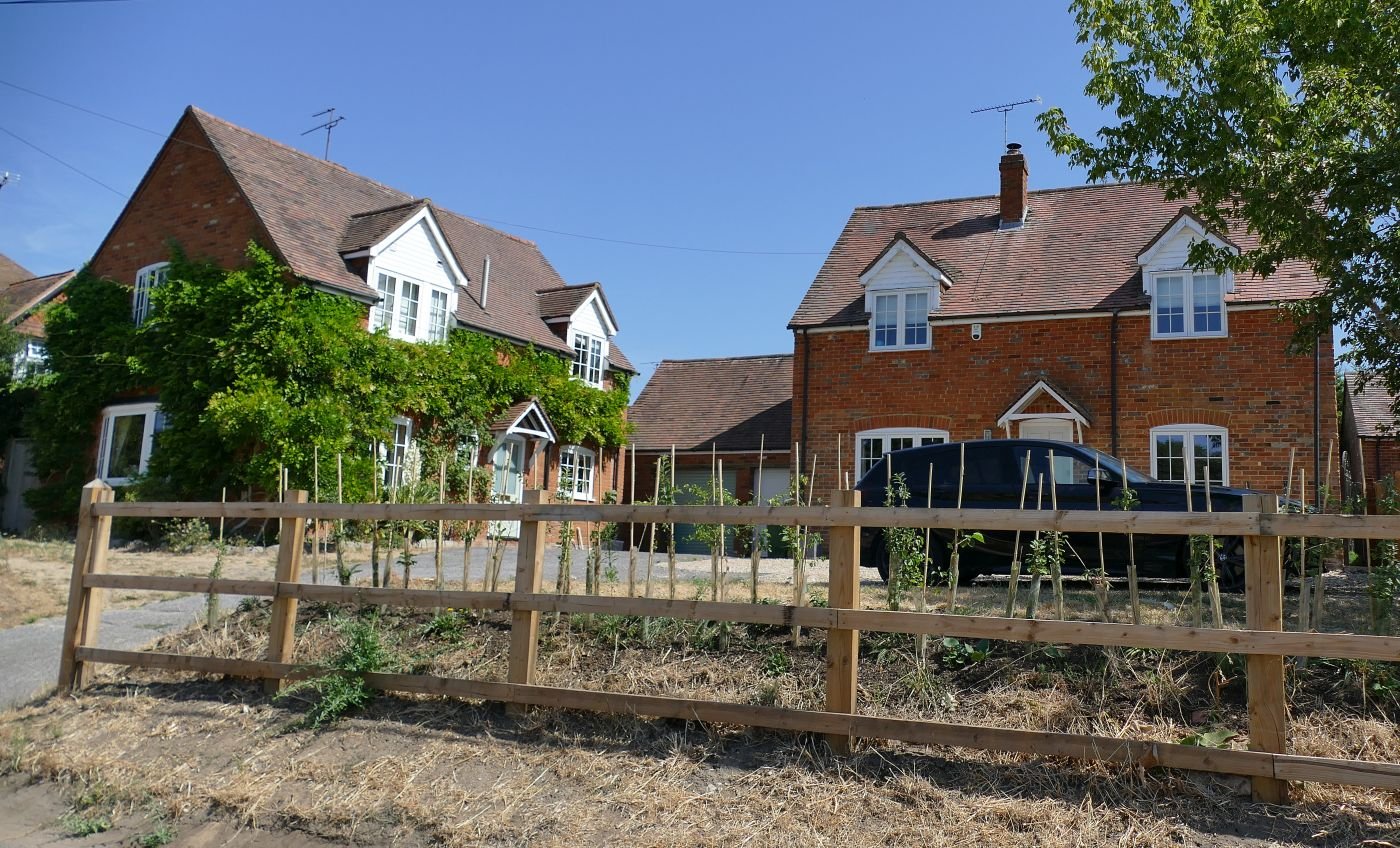
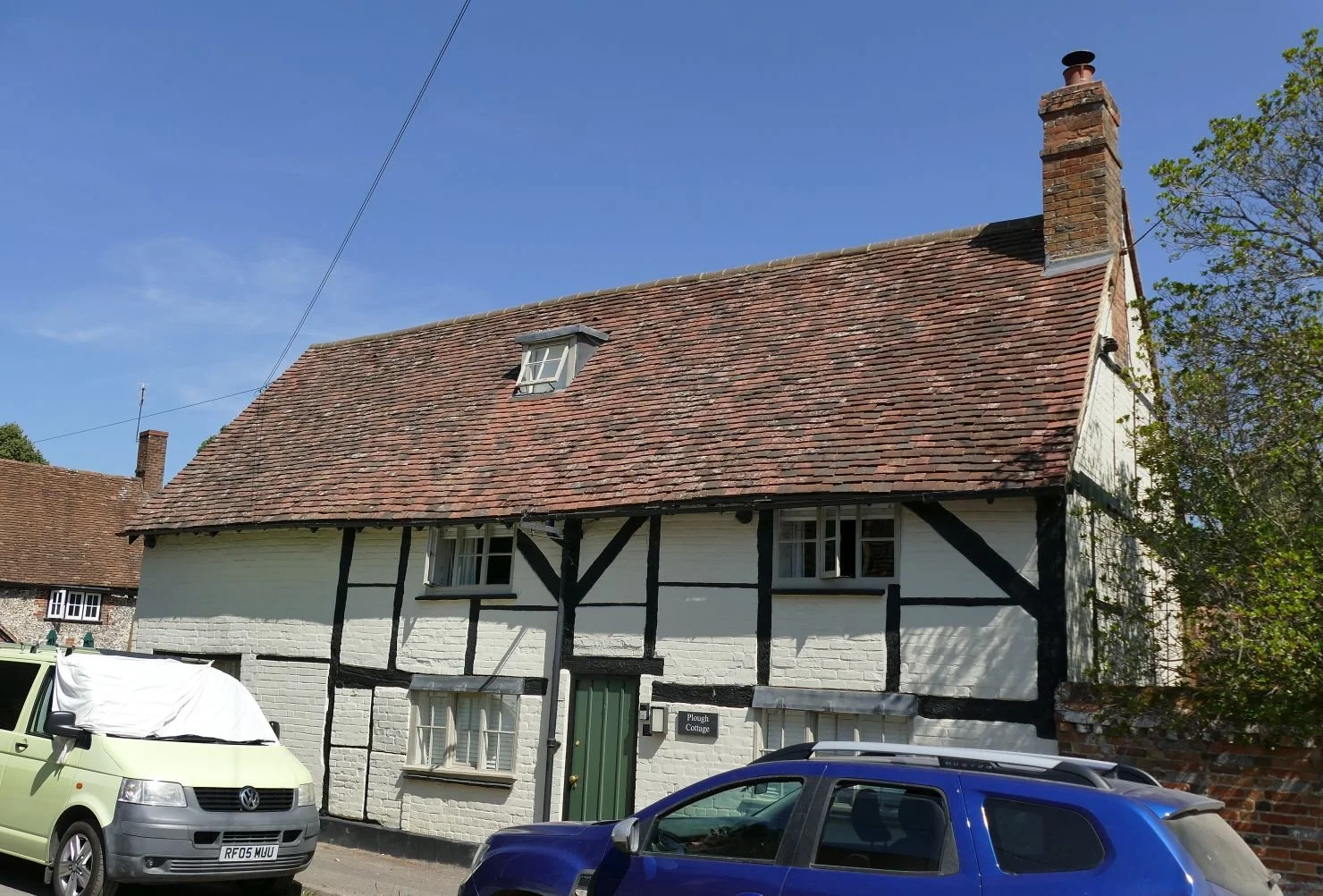
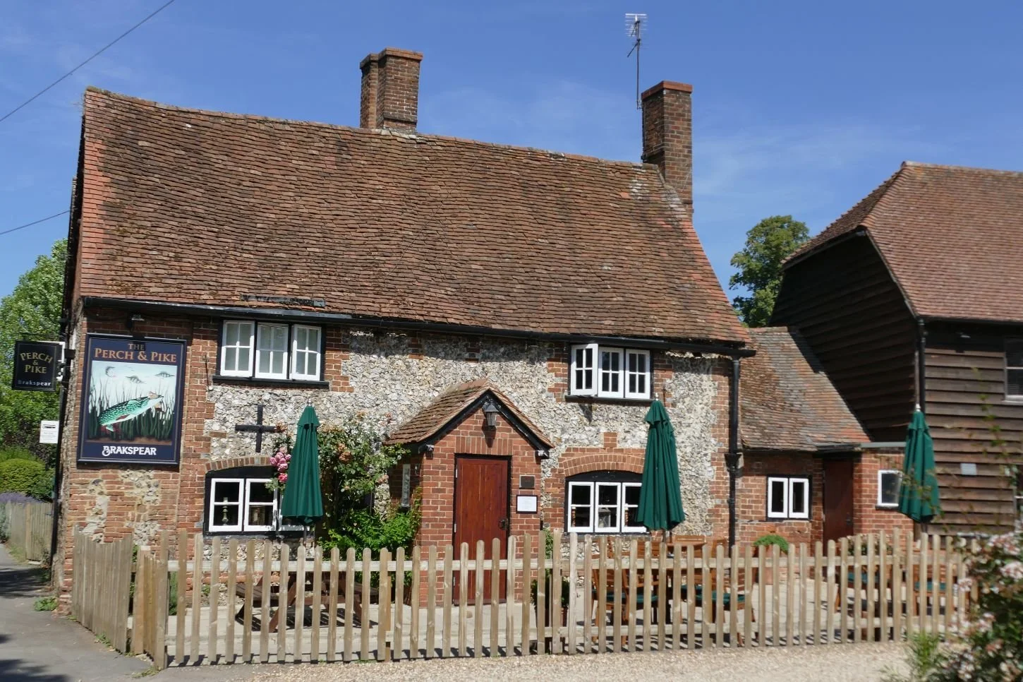
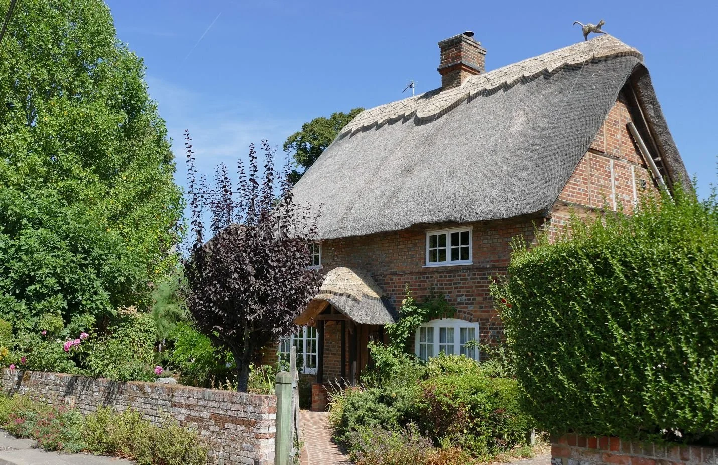
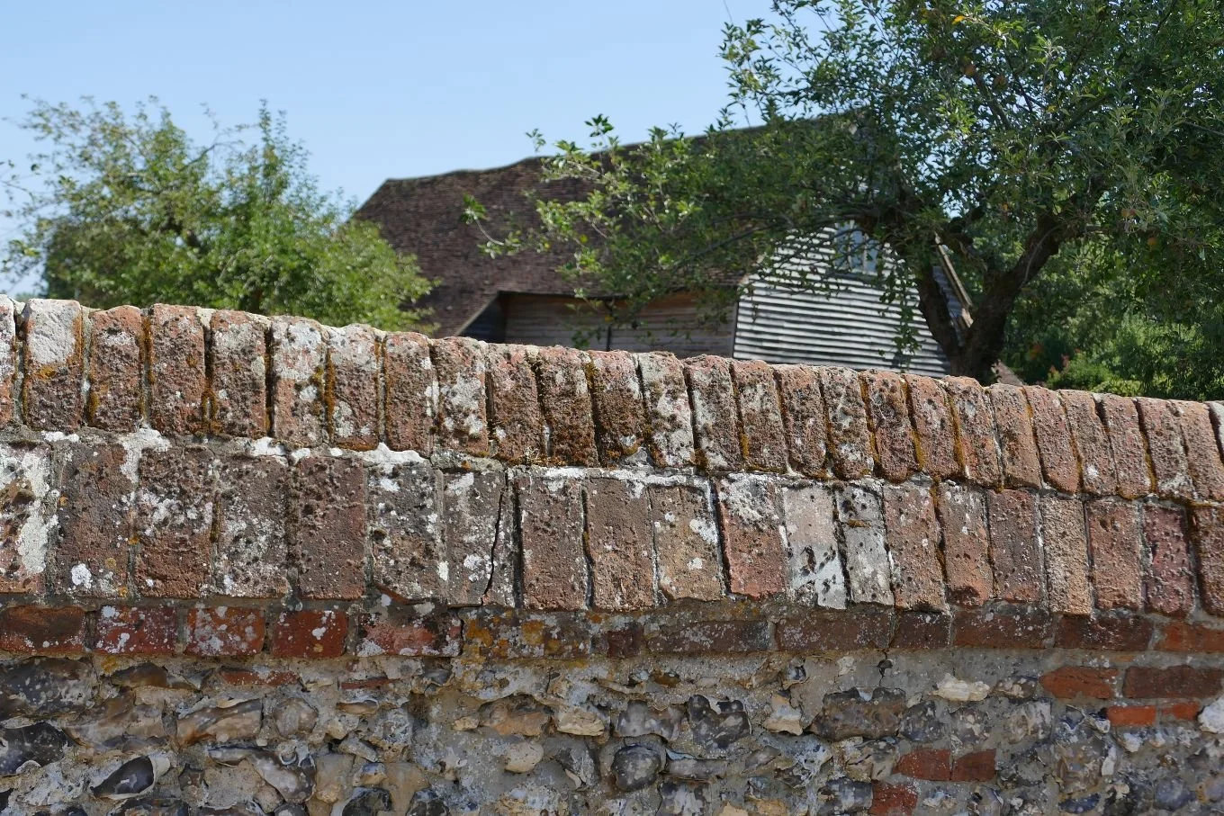
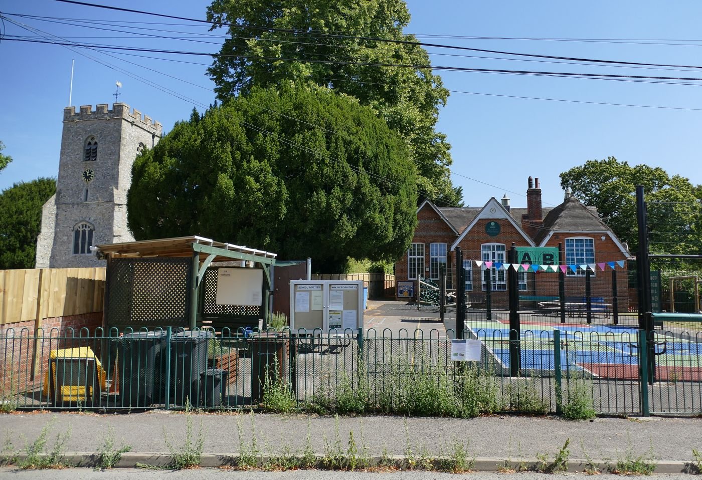
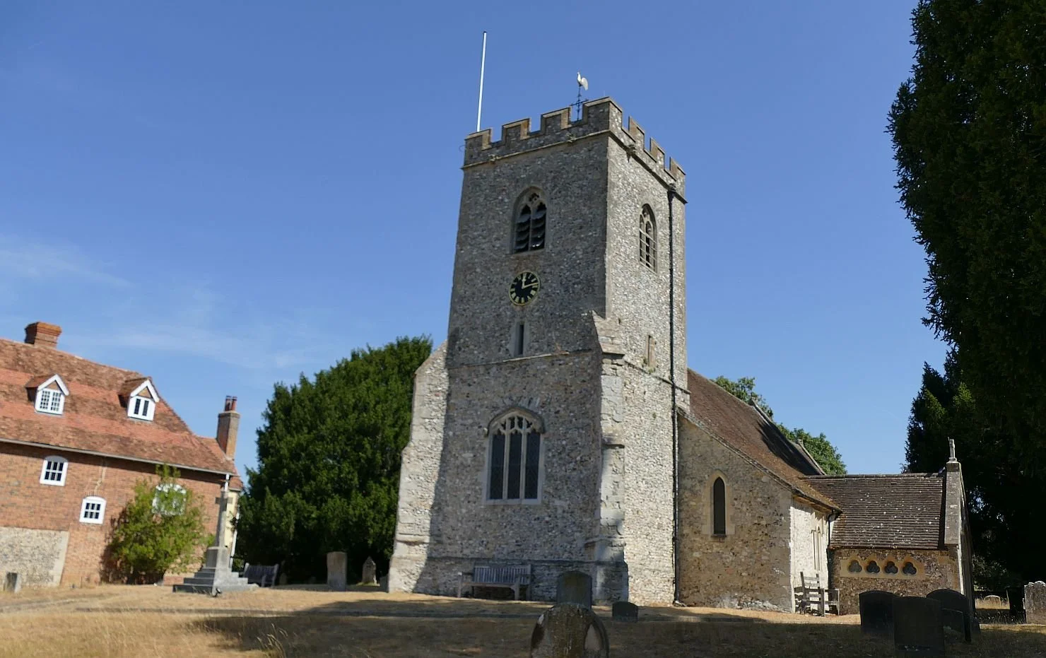
Beyond the village, the contours relax and we plunge, metaphorically at least, into the Thames valley water meadows. The whole environment becomes thirty shades of green (only thirty, we don’t wish to exaggerate) and a vast array of vegetation somehow absorbs a raft of activities including walking, running, boating, paddle boarding, fishing and farming. It is so calming that we even feel excited by a last glimpse of the railway as it sweeps diagonally across the Thames on two, magnificent, parallel viaducts.
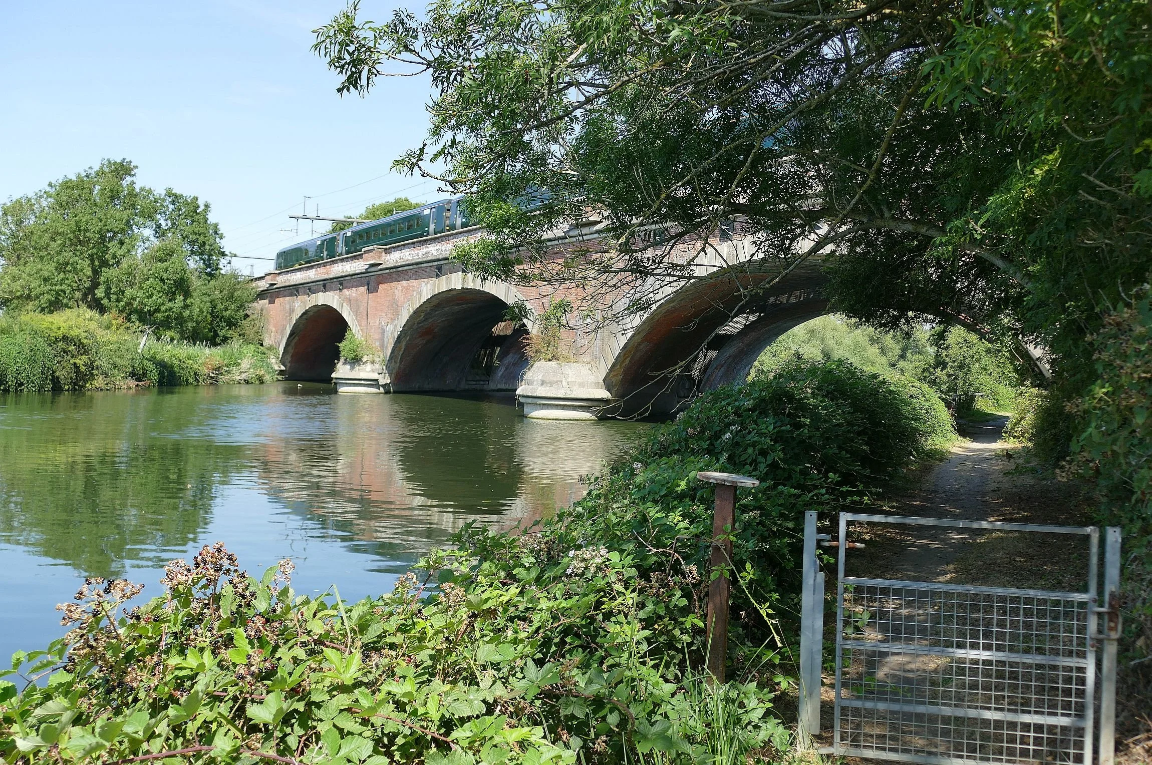
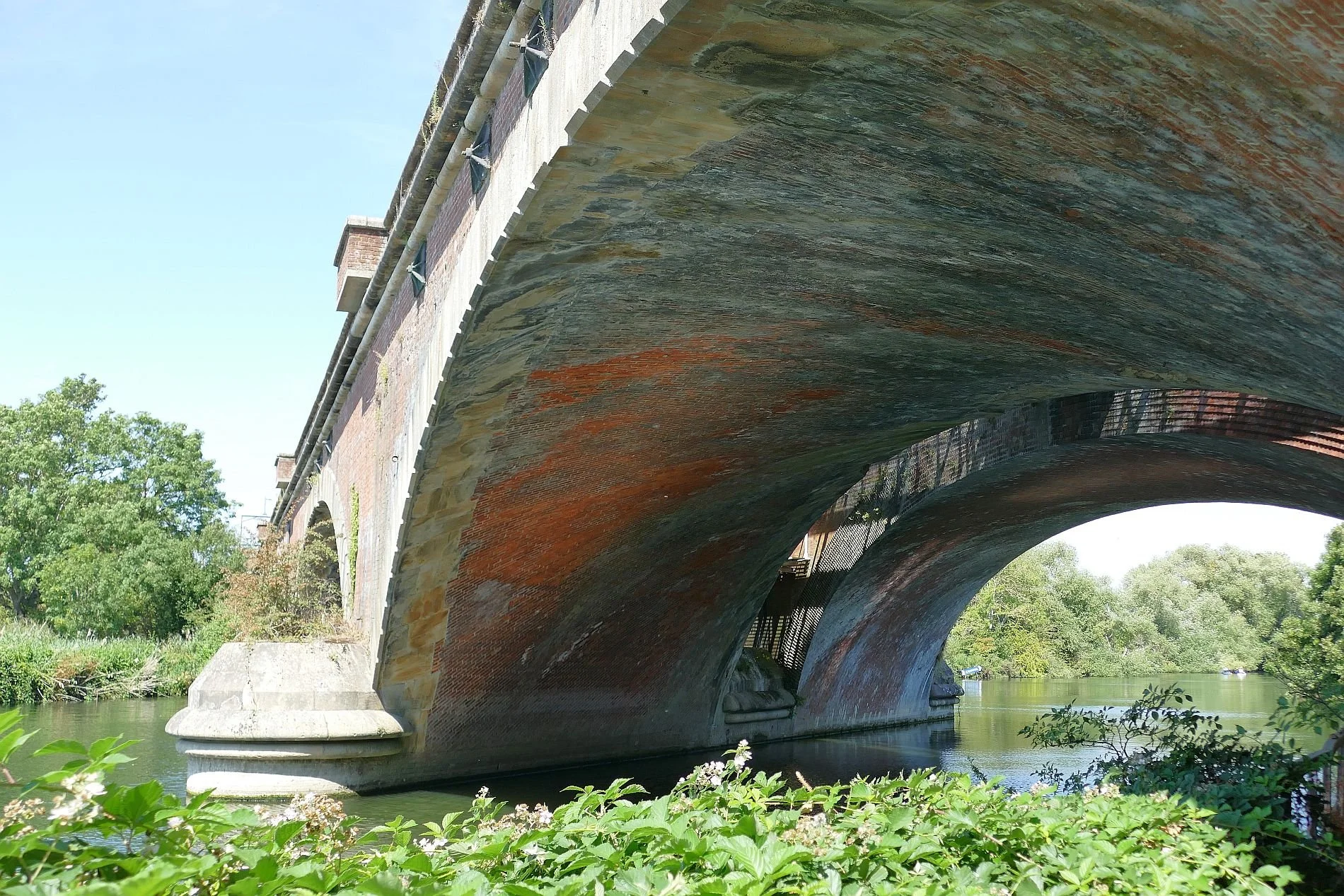
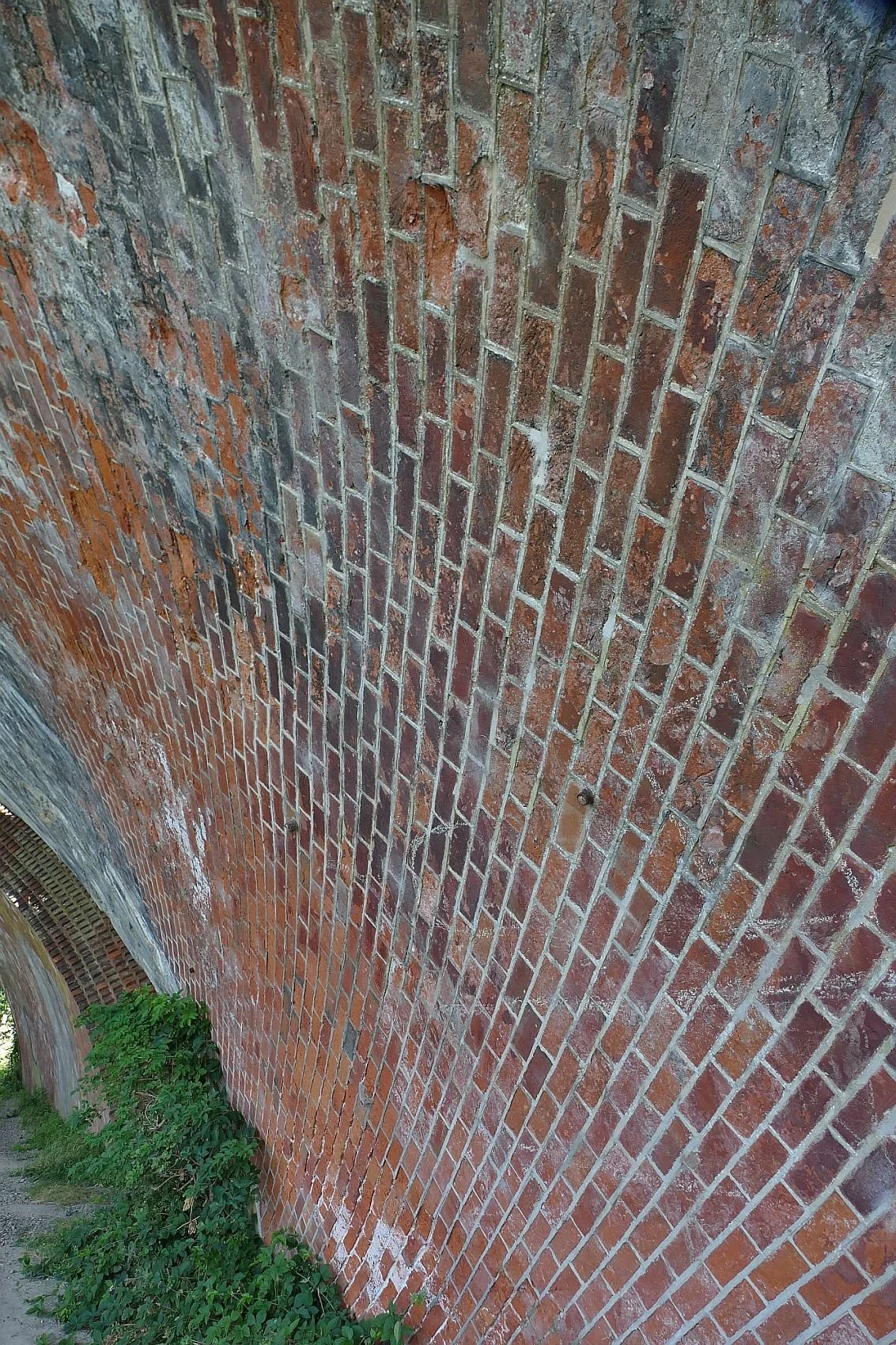
The river seems remarkably full considering the drought conditions and the water meadows, though dry, are remarkably green. Once home we googled some key words and it appears that the Thames valley had a very wet February so perhaps this boom or bust regime accounts for the current conditions. Although technically we must have been walking up hill, it all felt very flat but not uninteresting.
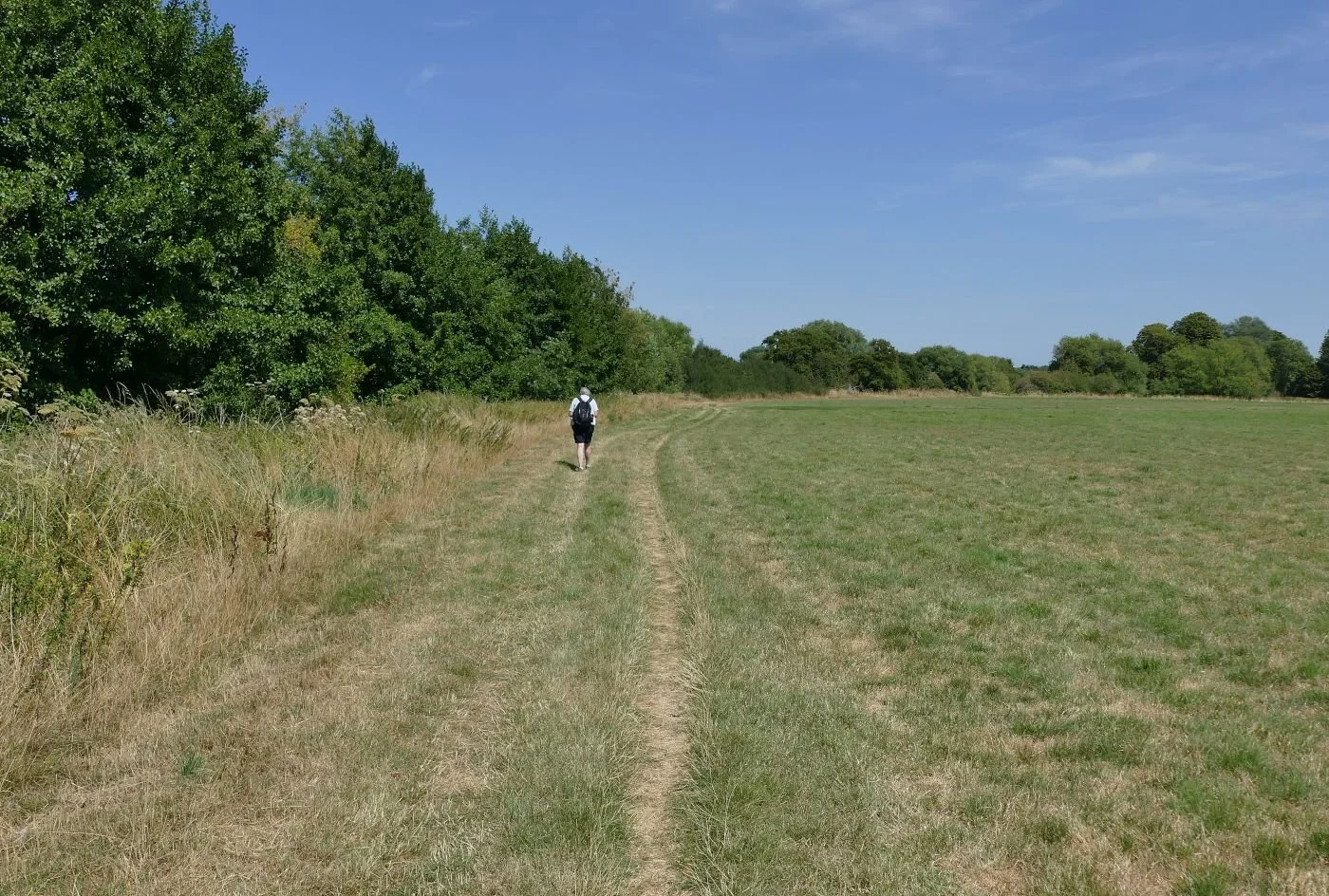
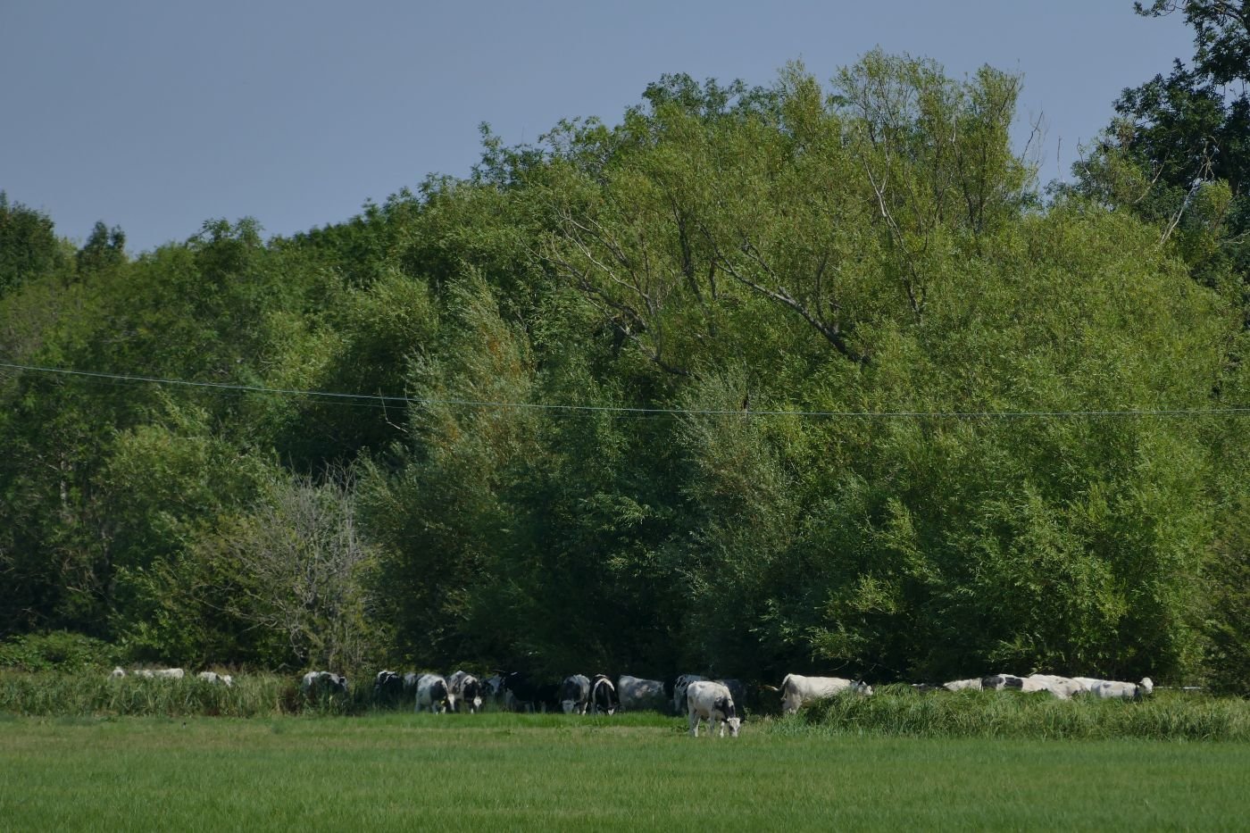
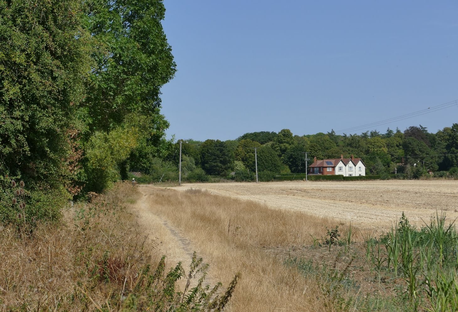
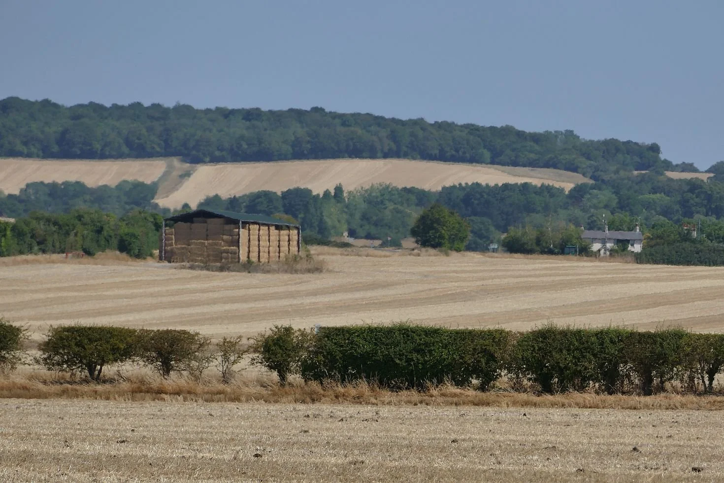
We walked beside meadows and arable fields:
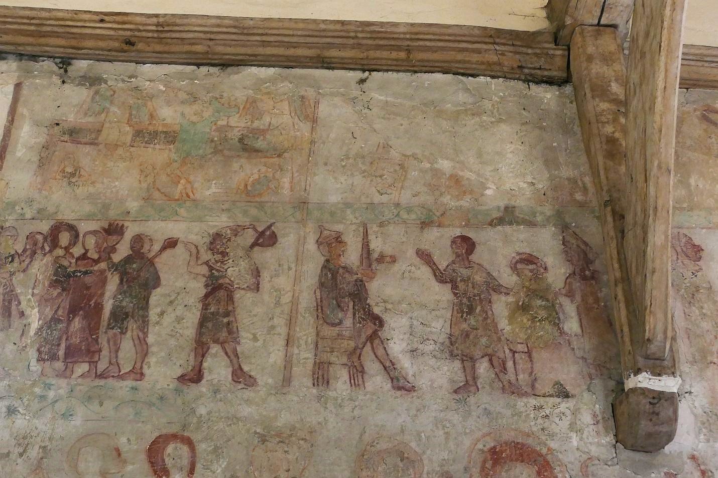
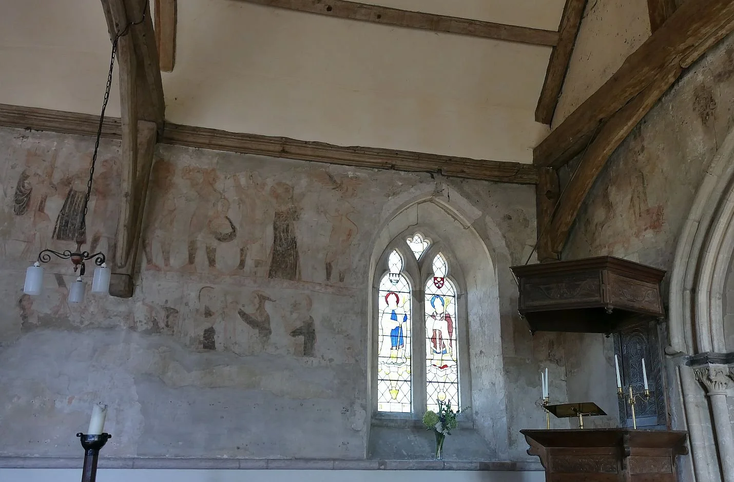
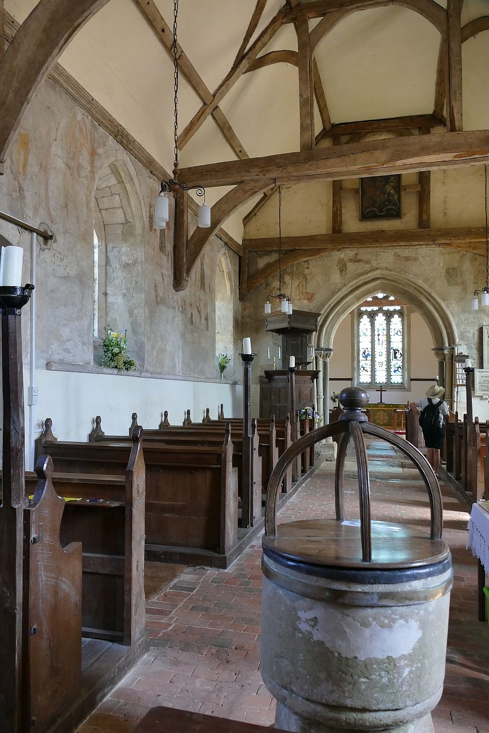
We visited North Stoke village (bus service, no shop) and admired the church’s wall paintings. We could hardly ignore St Mary the Virgin as the Ridgeway Path runs right through the churchyard, but the paintings are definitely worth the walk which, in our case, was all the way from Goring.
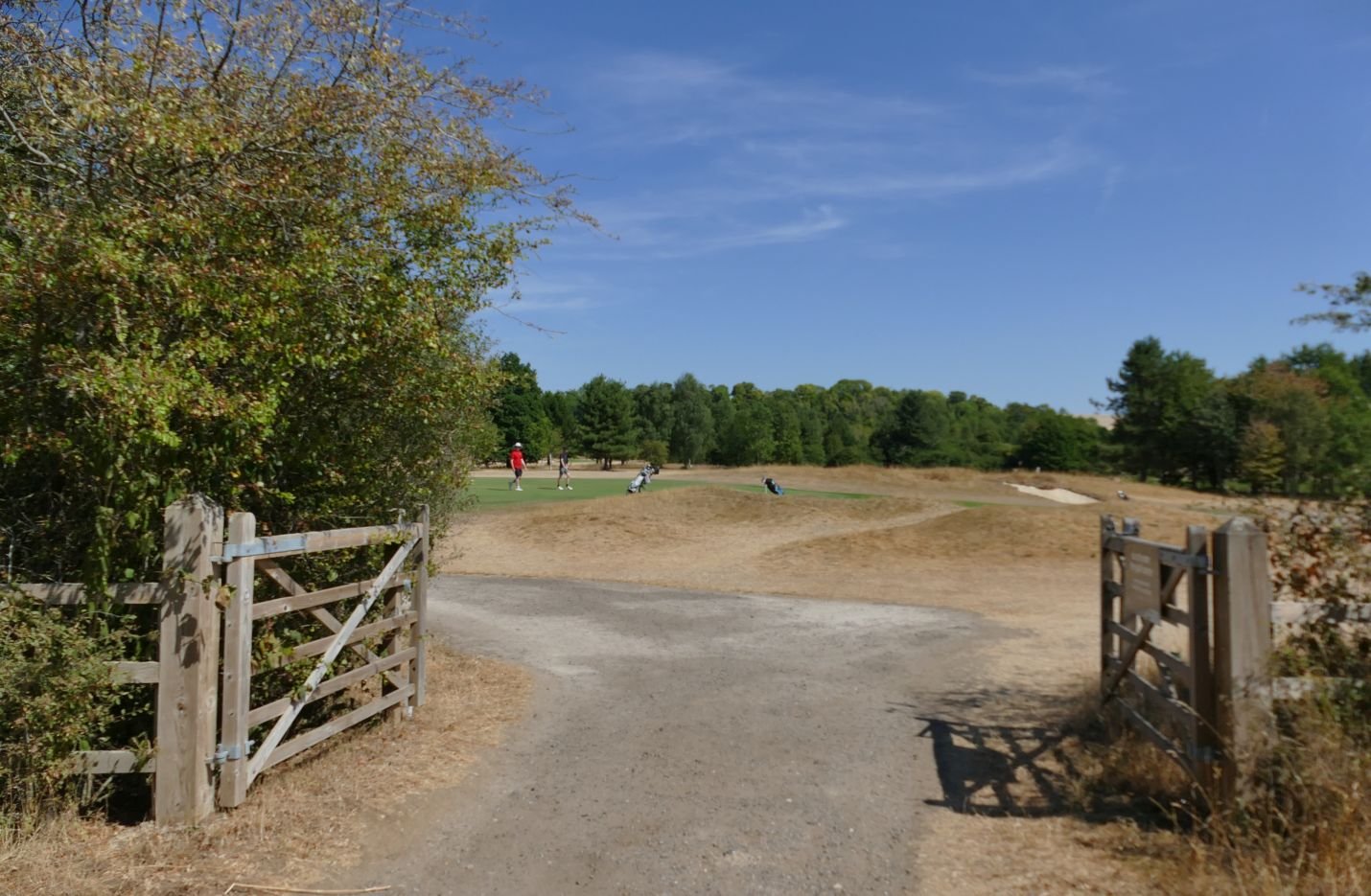
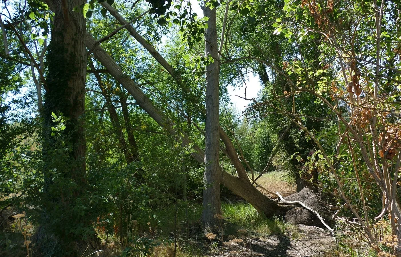
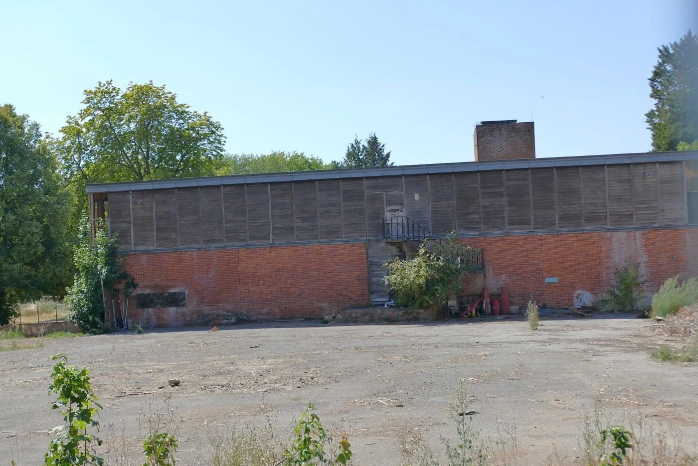
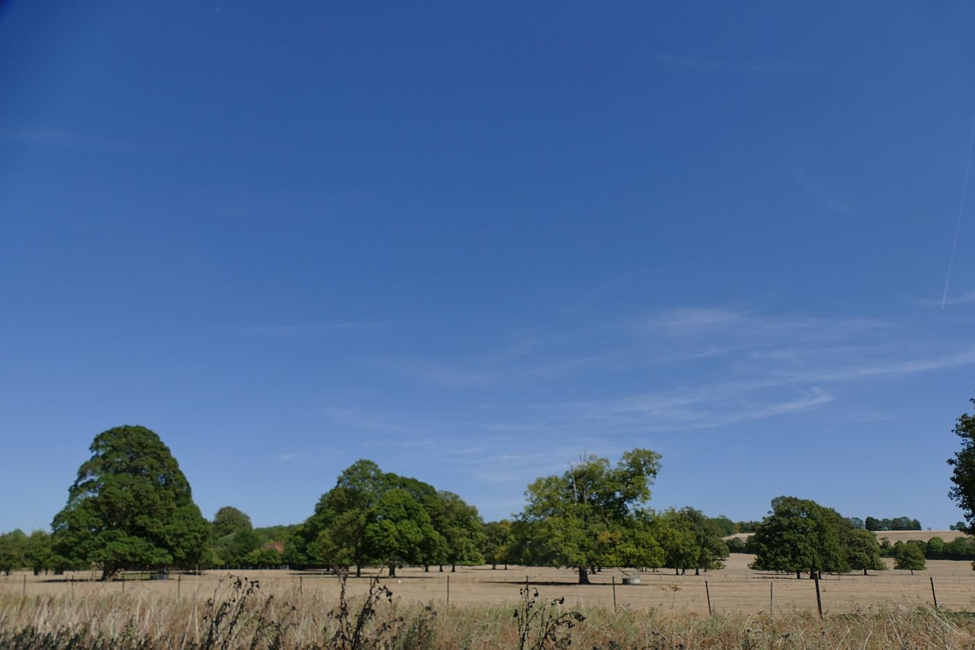
As we closed in on Wallingford, the landscape began to change: a golf course, unmanaged woodland, a deserted college campus, and former parkland.
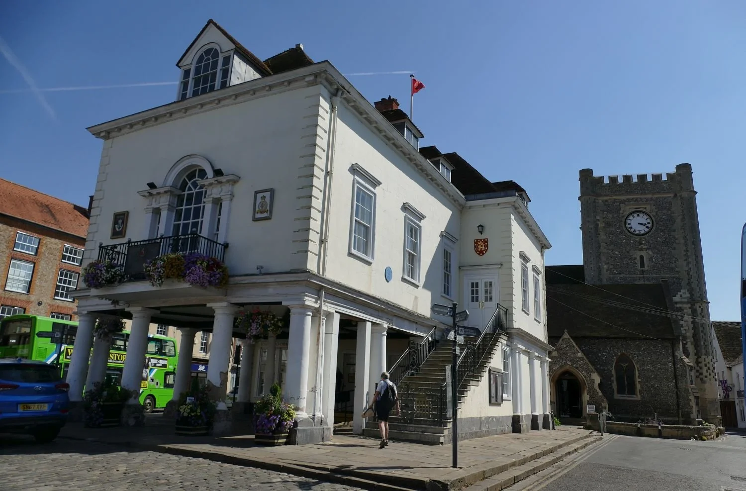
The pubs of Wallingford were calling. It was time to abandon the Ridgeway flatlands and find that bus home. Next time, we will begin to climb again.