Building Barking Riverside
It was with some bemusement that one of us was told, very recently, that we had to go to Barking Riverside. Thames-side path number 47 was about to be closed and huge changes were afoot. Visiting was vital!
The tipoff came from the much loved, London based, blogger Diamond Geezer. If you don’t know him then click on https://diamondgeezer.blogspot.com/. It’s worth the effort.
In the meantime, here is an extract from DG’s post of 20th March:
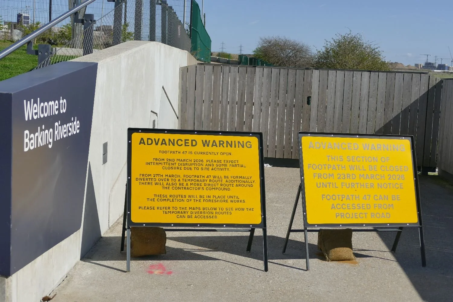
“For years I've been urging you to walk Footpath 47 at Barking Riverside before they redevelop it. You have one week left. From 27th March the footpath will be "formally diverted to a temporary route", a distant pavement slog nowhere near the river. It'll be diverted back when phase 1 of the foreshore works are complete, maybe in autumn 2027, but along new walkways and not the unspoilt foreshore it still nearly is.”
-
Perhaps this short paragraph is not the most exciting example of Diamond Geezer’s prose but it was a sufficient hint to send Terroir running for coats, cameras and travel passes. There is, in fact, a lot to unpack from this brief paragraph.
Let us step back for a moment and take a brief look at the history of this piece of Essex marsh land, adjacent to the River Roding and the Thames. The original village and parish name (which eventually evolved into the unfortunate name of Barking - yes, we’ve heard all the puns) appears to have been the Old English Berecingas (https://en.wikipedia.org/wiki/Barking,_London) which might have meant a settlement associated withwith someone called Bereca or the settlement near the Birch trees. Obviously Terroir favours the latter. The manor was huge and covered the area now occupied by Barking, Dagenham and Ilford. It was noteworthy for its Abbey (housing a nunnery), which was founded in 666 CE and demolished in 1536.
The rivers Thames and Roding seemed to have played an important part in the area’s early history with records of flooding, but also supporting fishing and farming. Proximity to London and improved transport no doubt supported the move to market gardening with industrial use closer to the Thames. The railway, from Fenchurch Street, arrived in 1854 and the London Underground in 1908. Barking officially became part of London in 1965. But Barking Riverside was still a concept as yet undreamed of.
Barking’s relationship with power stations started in 1897 and the first was actually a town centre affair. Coal-fired, it generated electricity for lighting and domestic use but also to operate the town’s Bascule Bridge over the River Roding and the tram system to carry workers to nearby Beckton Gas Works (https://yourcall.befirst.london/barking-heritage/stories/barkings-first-power-station-by-eric-feasey-and-simone-panayi).
The big boys started to arrive in the 1920s, located south east of Barking at Creekmouth (see black arrow on plans below), where the Roding flowed into the Thames and where industry was already developing, with wharfs for delivery of fuel and raw materials. Barking A Power station was joined by Barking B in the 1930s and C in the 1950s. All were decommissioned by 1981 and subsequently demolished.
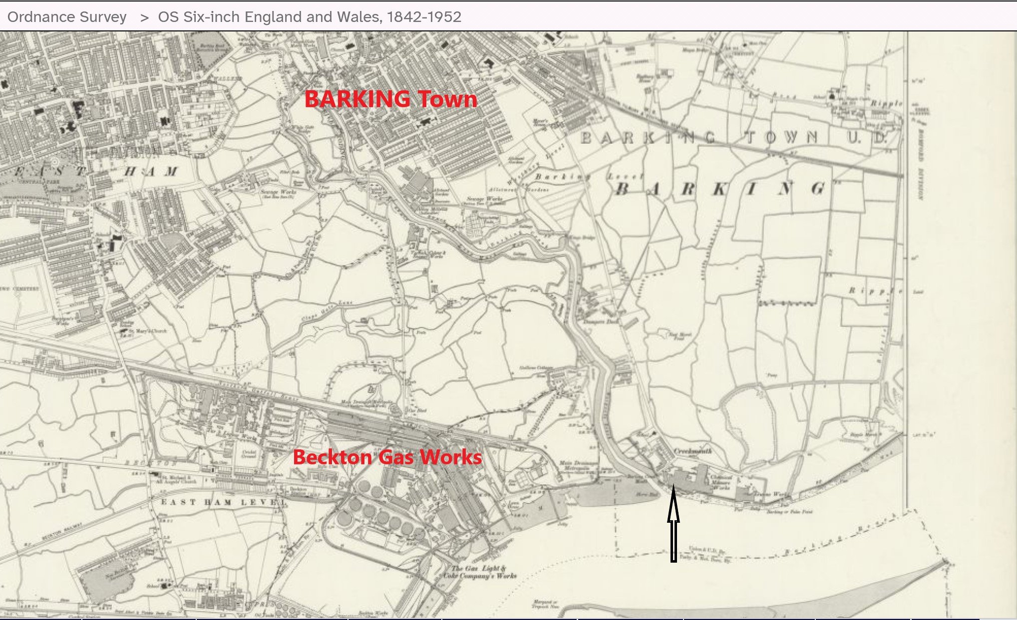
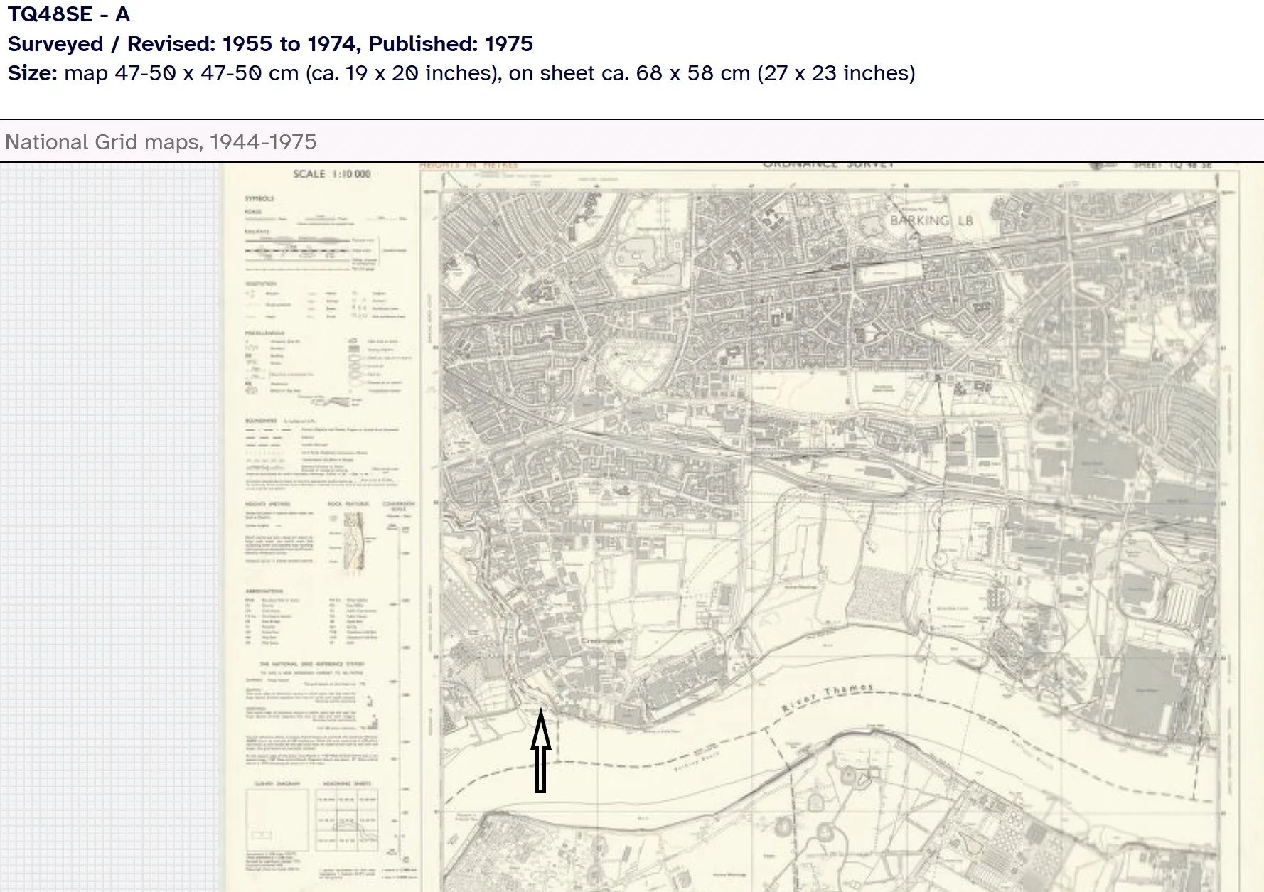
Images above: left - extract from Ordnance Survey Plan (surveyd 1913 - 1915) and, in contrast, right, a later map (revised 1955 - 1974)
© Reproduced with the permission of the National Library of Scotland' https://maps.nls.uk/index.
So what do you do, with a large, polluted, former industrial site, located on the north bank of the Thames, with no public transport to the nearest towns (Barking to the west and Dagenham to the east) but with good access to London’s mighty river and a fine view of Thamesmead on the opposite bank? Solve London’s housing crisis of course. Invent Barking Riverside.
Bureaucracy, partners, money and politics: it’s complicated so after studying many websites and taking the risk of asking AI, we take no responsibility for accuracy of the following; do tell us if we are wrong.
Site was identified for redevelopment in the 1990s as part of the Thames Gateway initiative.
Joint venture formed in 2004 with Bellway Homes
Outline Planning permission granted in 2007; first homes occupied in 2012.
Project stalls due to lack of funding for the significant infrastructure required. In 2016, a new joint venture is agreed between L&Q and the Mayor of London to form Barking Riverside Limited (BRL), as developer to oversee design, planning, place making and infrastructure projects.
The new joint venture secured funding for a London Overground Station, Thames Clipper Uber Boat and extension to local bus services, without which any further development would not be viable.
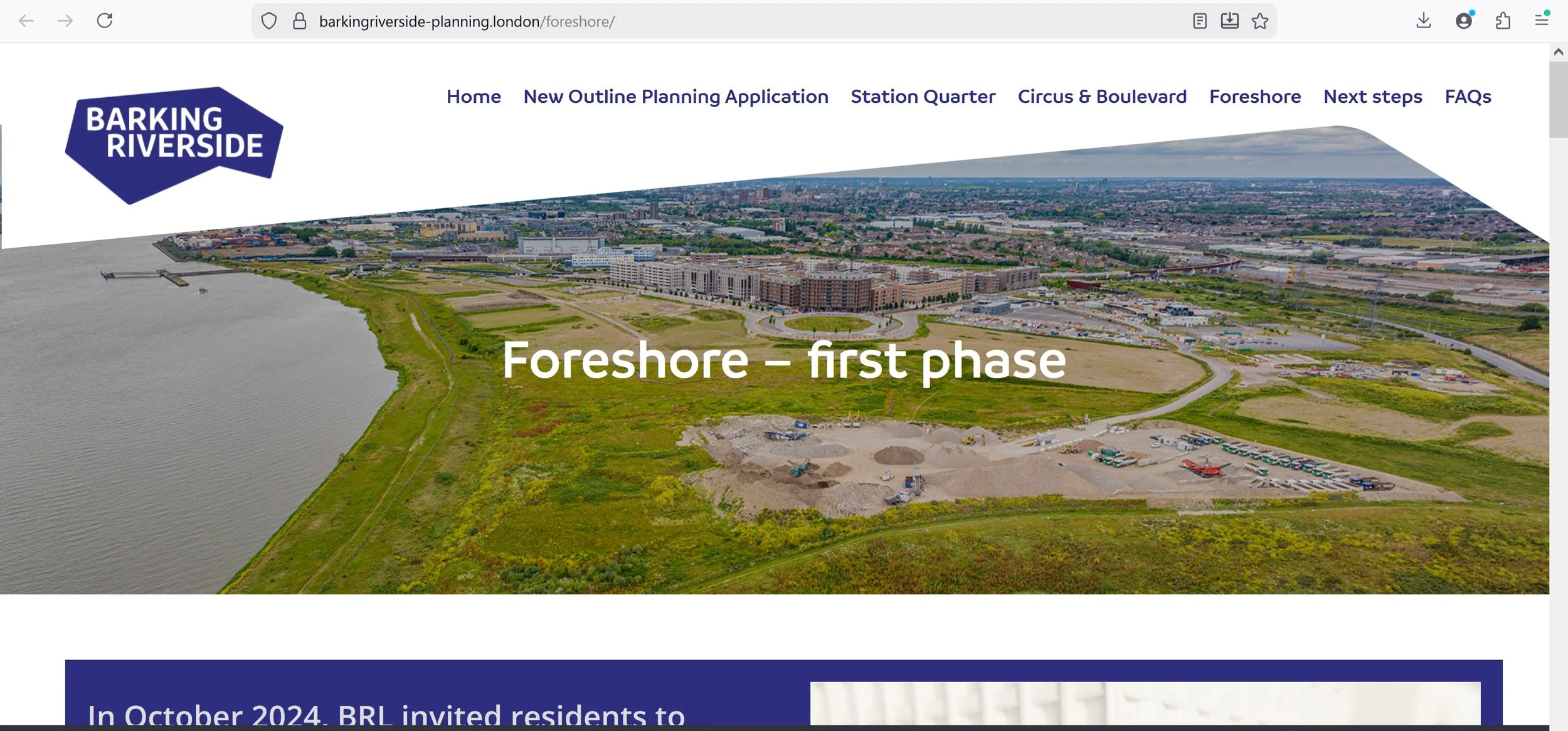
And finally, a new outline planning application was submitted in 2024 “to evolve and refresh the existing masterplan – which includes elements which are now over 16 years old – ensuring it can be flexible and sustainable, whilst delivering more vitally needed homes in Barking & Dagenham”.
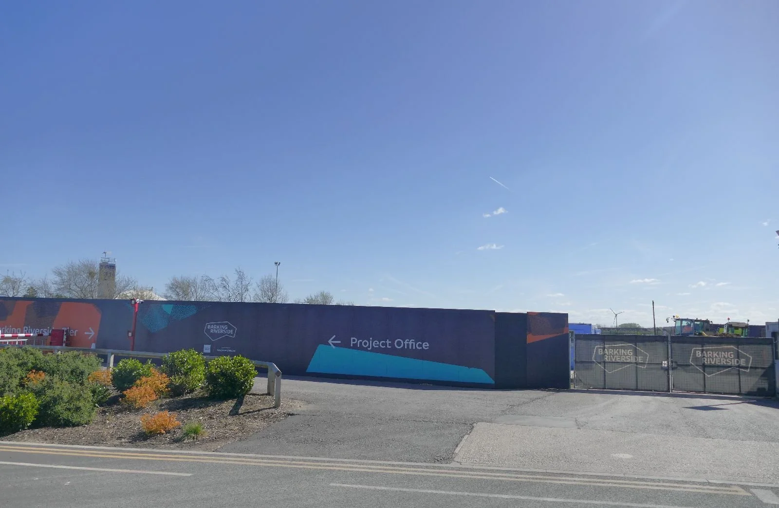
Planning permission was granted in March 2026 (we’re writing this in early April 2026!) Hence the rush to walk footpath number 47 before it was closed to allow the works to commence. Let us take you on a tour.
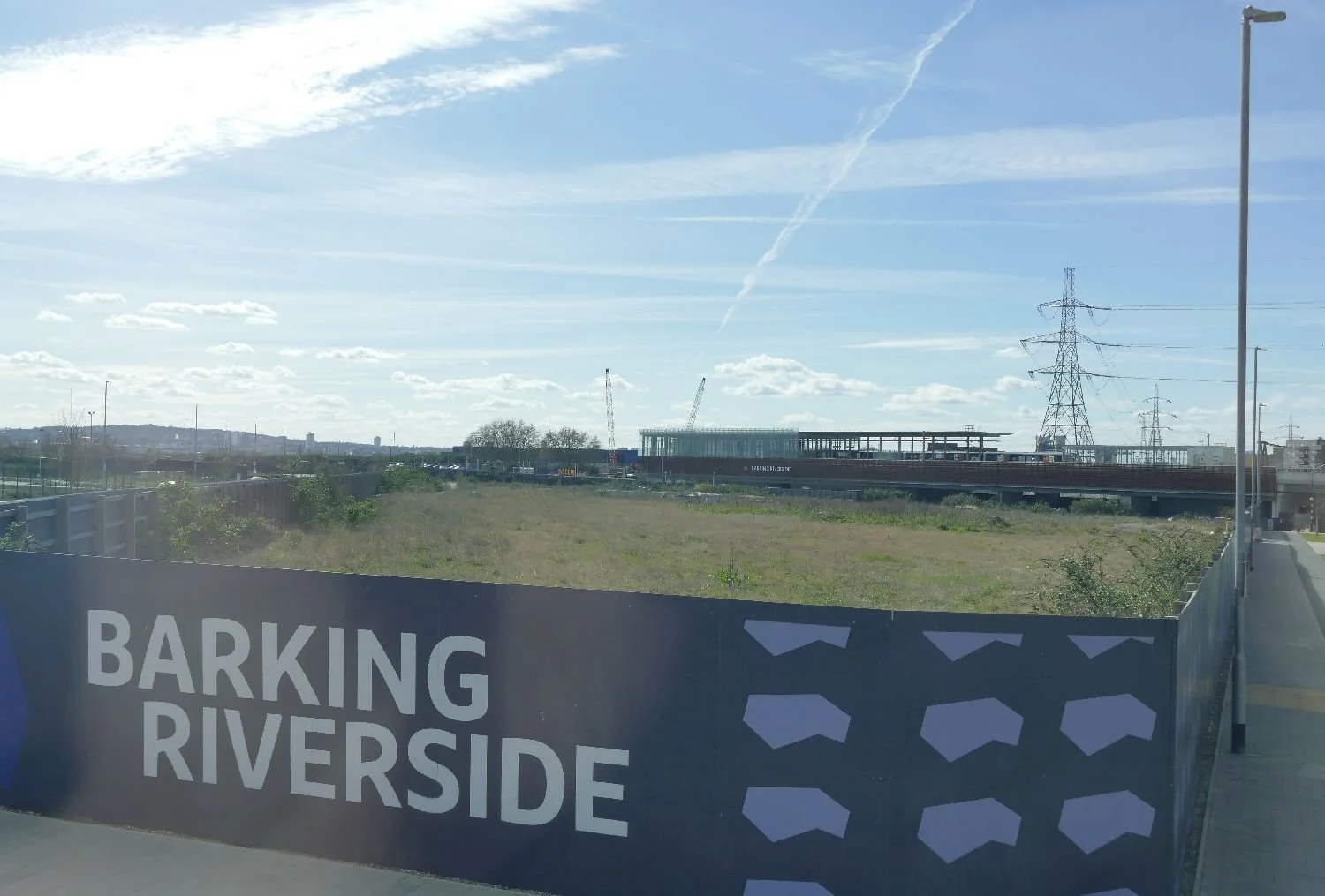
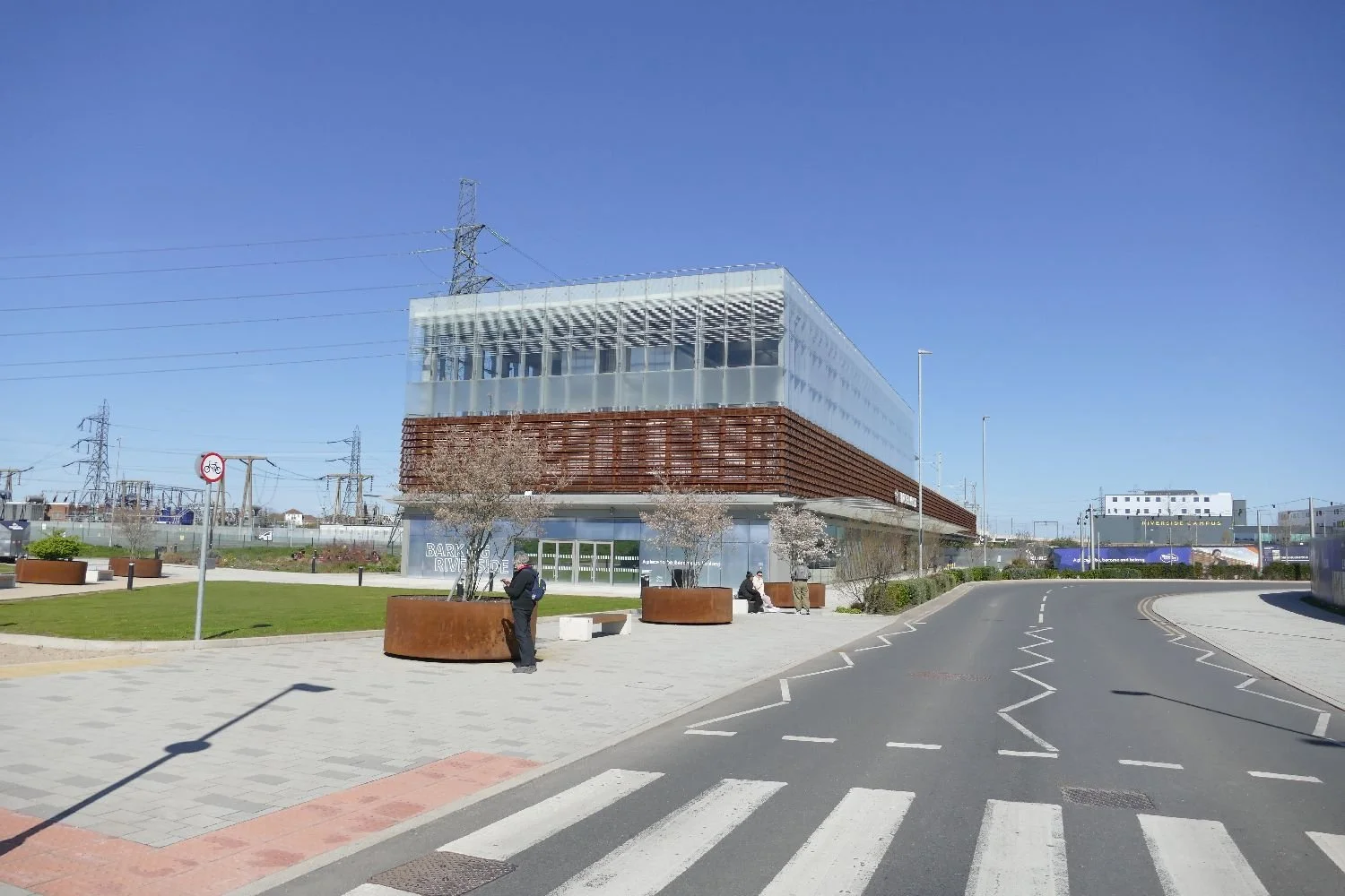
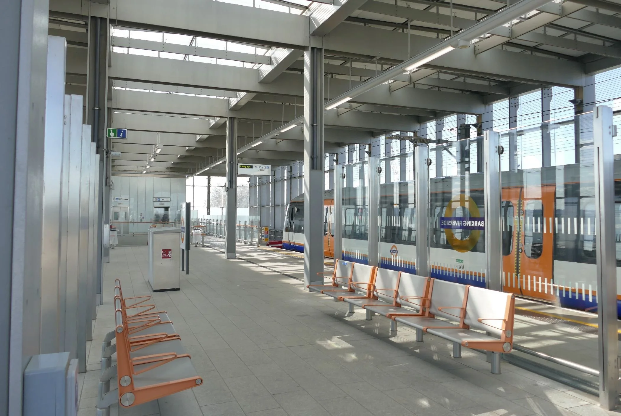
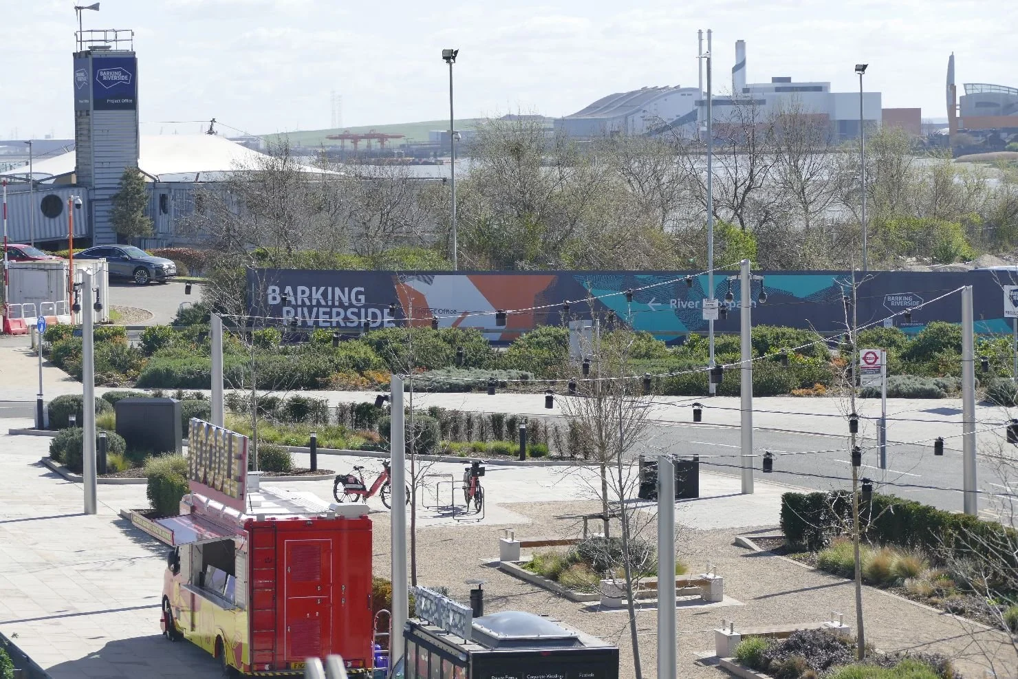
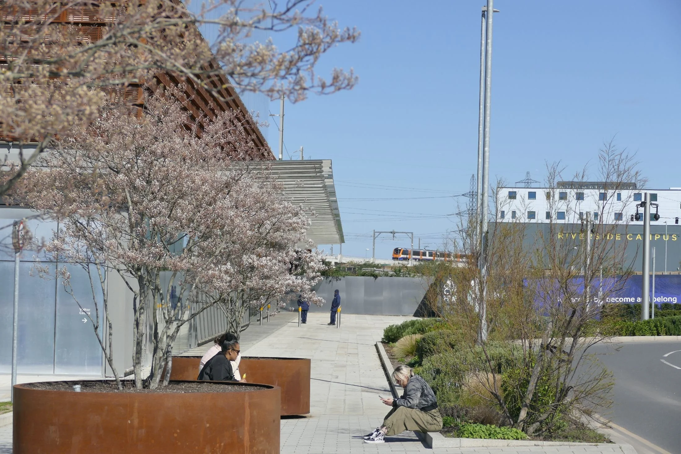
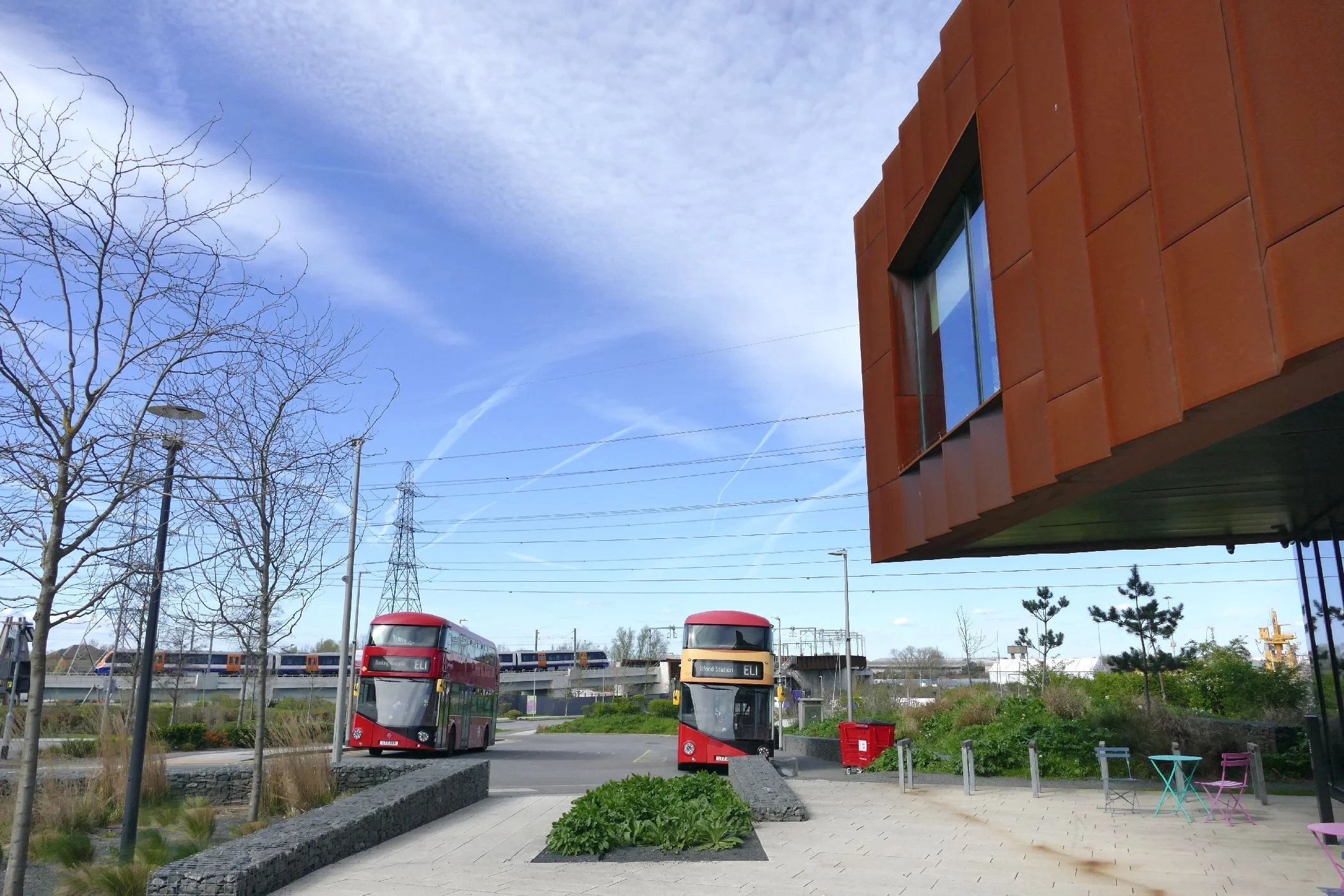
Arriving at Barking Riverside Station was a bizarre experience. It’s a huge, modern shoe box of a station standing proud above it’s surrounding town/riverscape and, at around 10.30 in the morning, almost empty. It’s clear that cycling is being encouraged here and the bike ‘shed’ is already fairly well used, considering the relatively small population. The down side of the train link, however, is that passengers are forced to change at the old Barking Station to continue their journey to anywhere other than Leytonstone, Walthamstow or Gospel Oak!
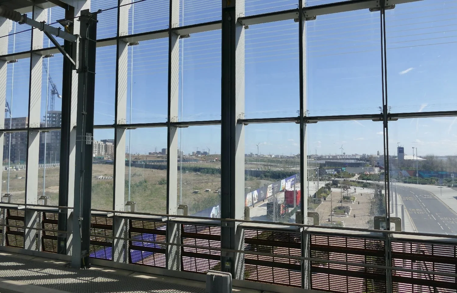
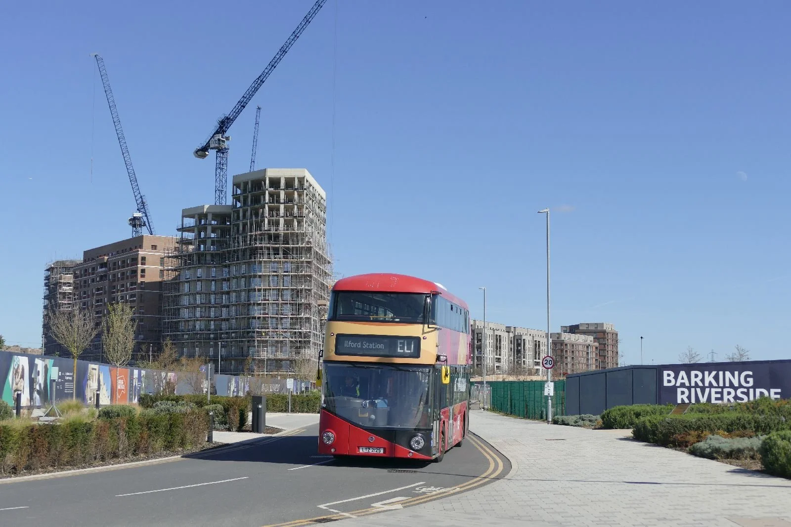
The bus looks strangely incongruous as it pulls into a deserted station ‘yard’ with an earlier phase of building nearing completion inn the background.
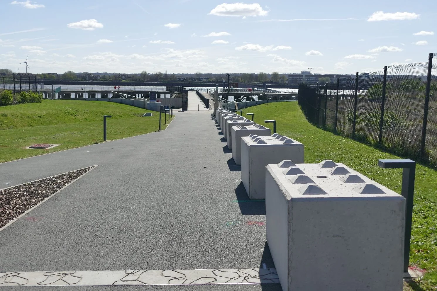
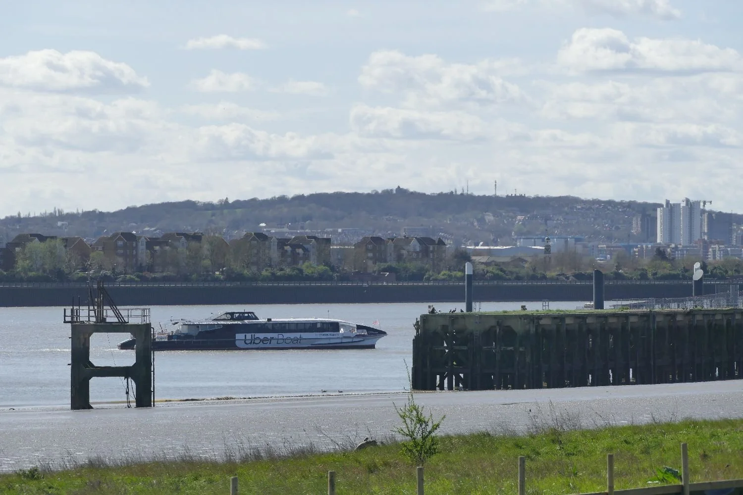
The Uber Boat has a fine new pier at which to dock. but it’s a long walk to the railway station/bus hub, let alone the nearest block of flats so its currently very limited service is probably unsurprising.
The landscape surrounding the transport hub is a mixed bag of fresh new townscape, and development areas waiting for the starter gun, all sandwiched between the Thames and the previously built out areas to the north.
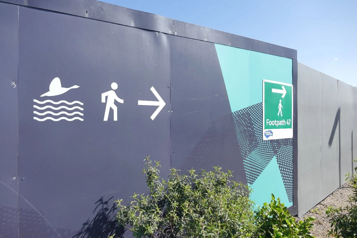
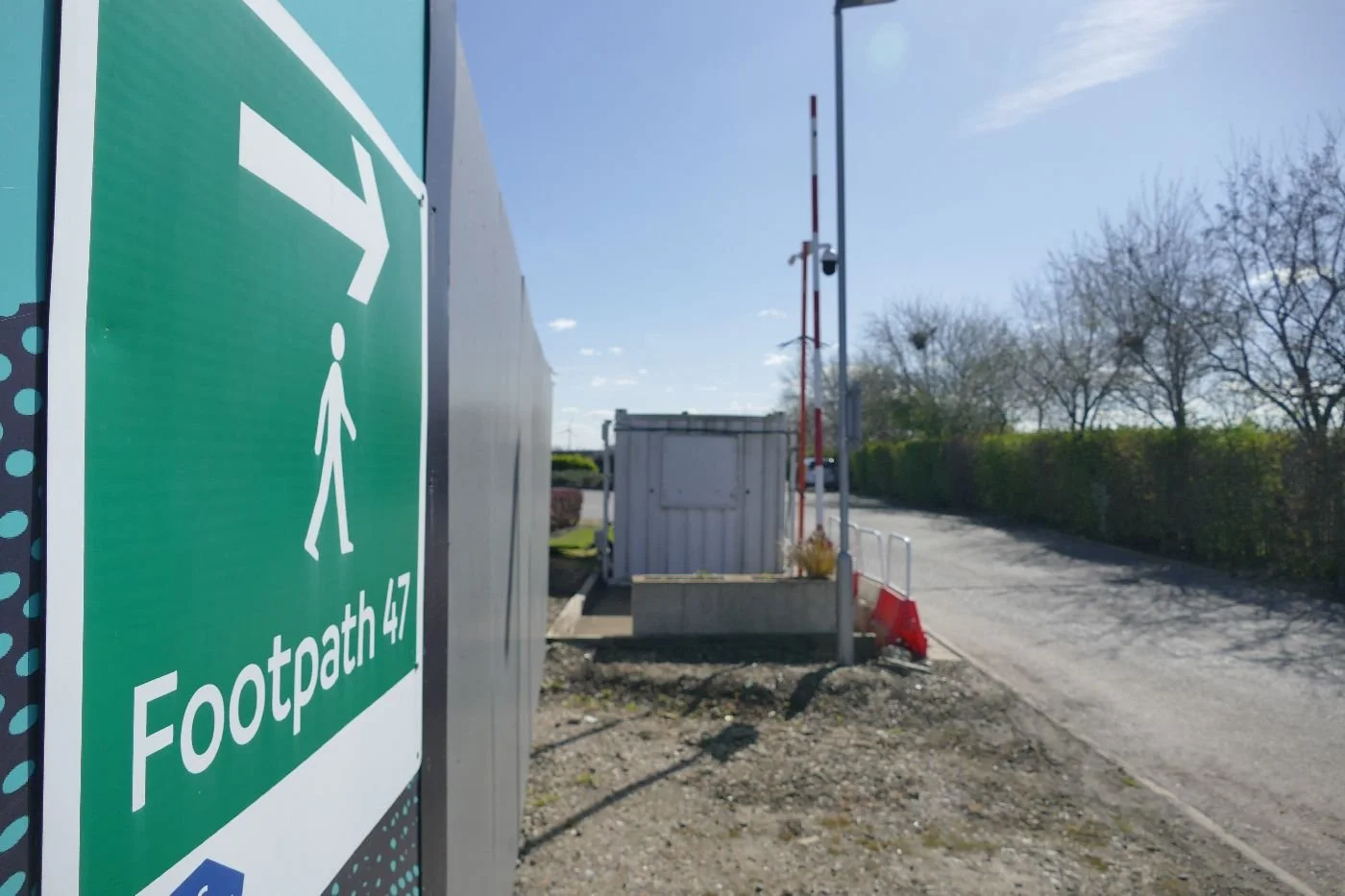
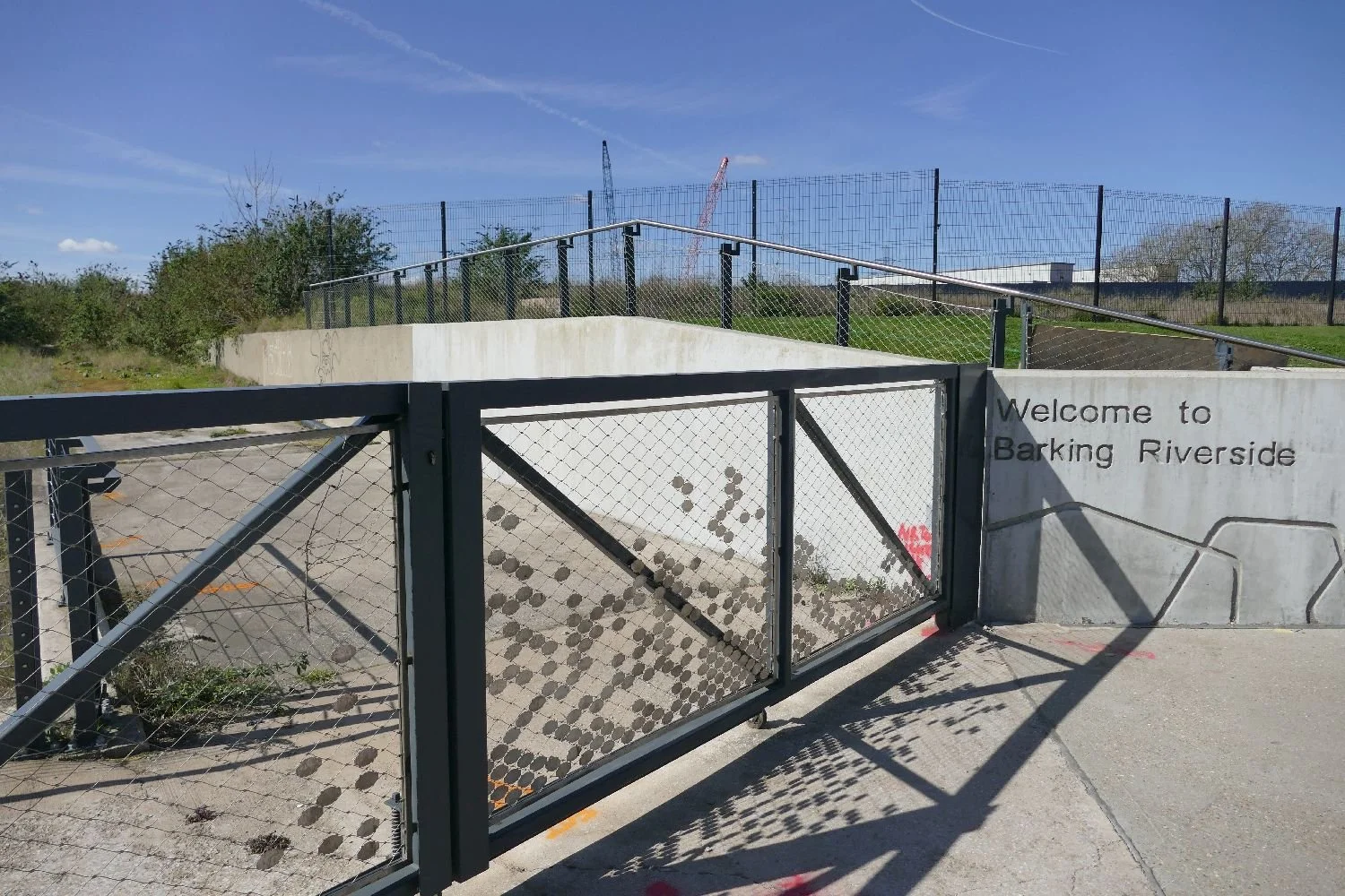
But where is footpath 47, we hear you cry? We’ll take a walk, once we’ve figured out the route.
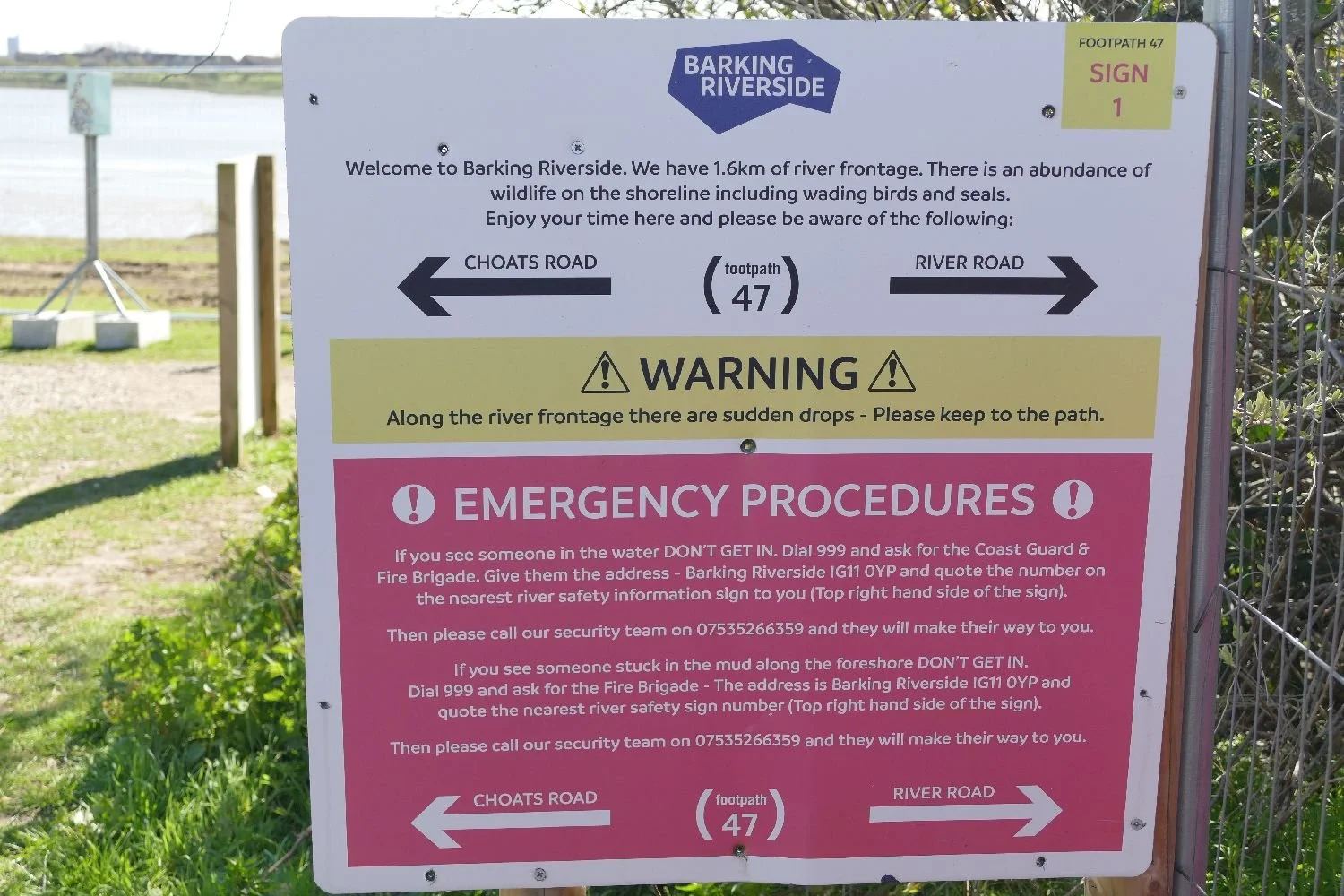
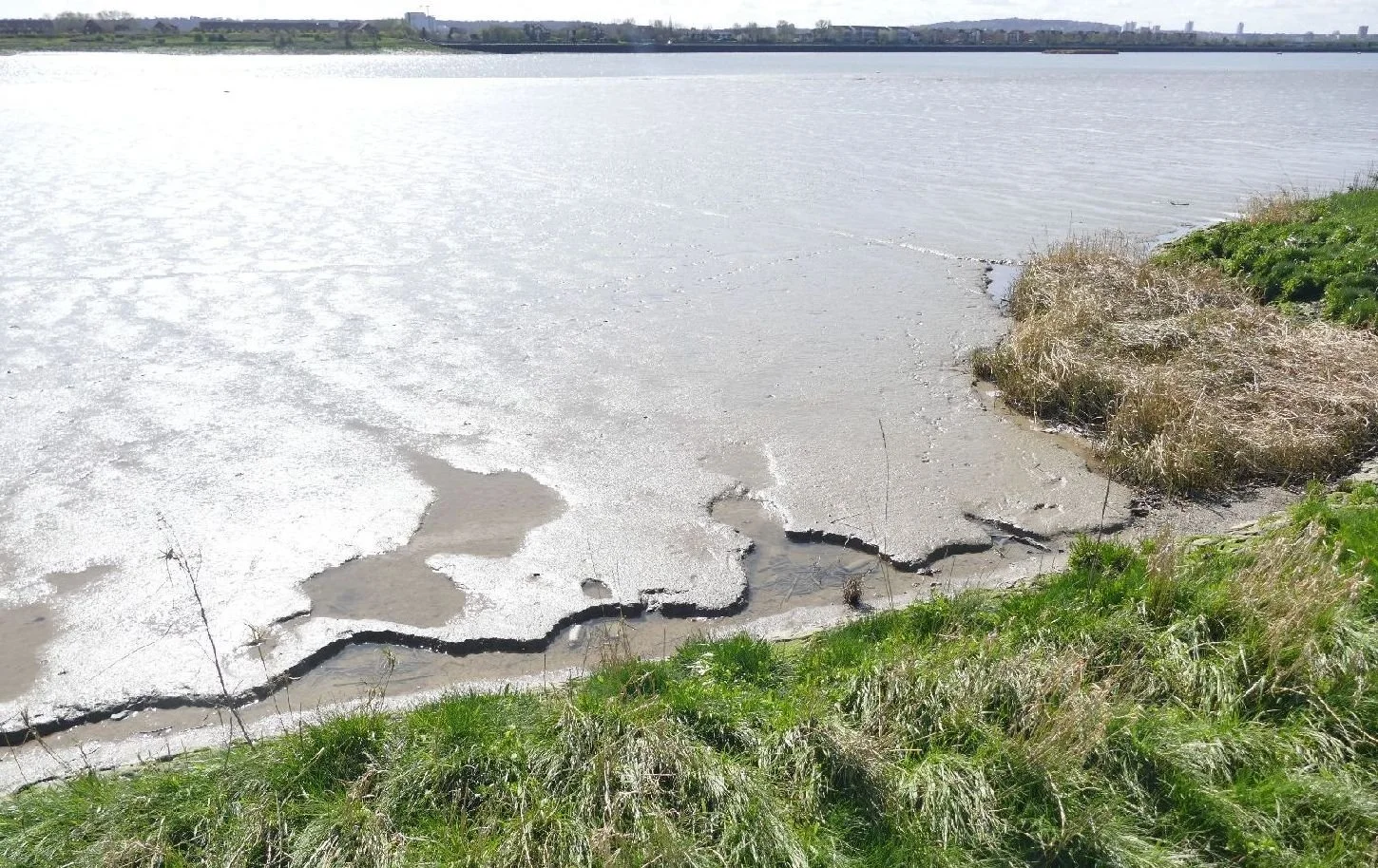
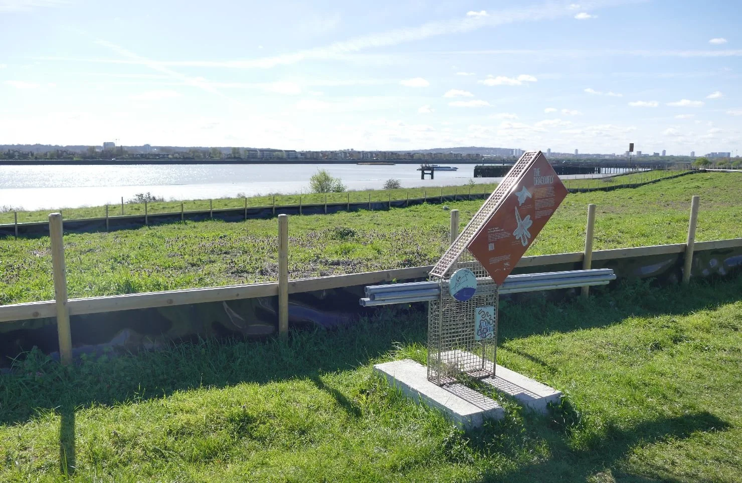
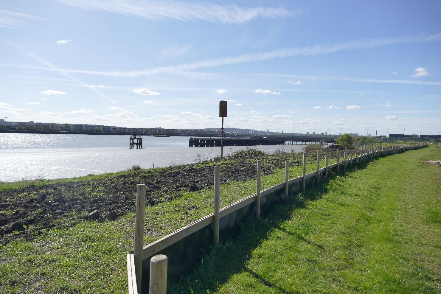
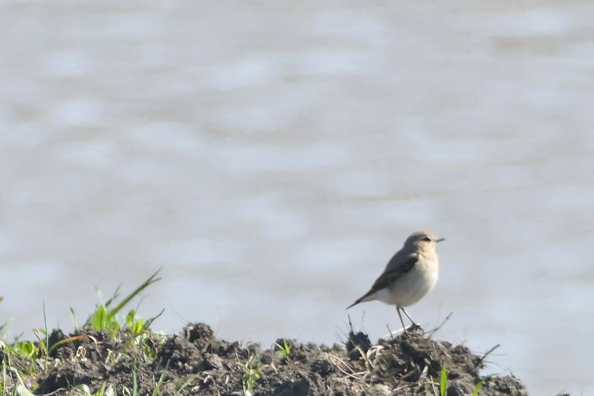
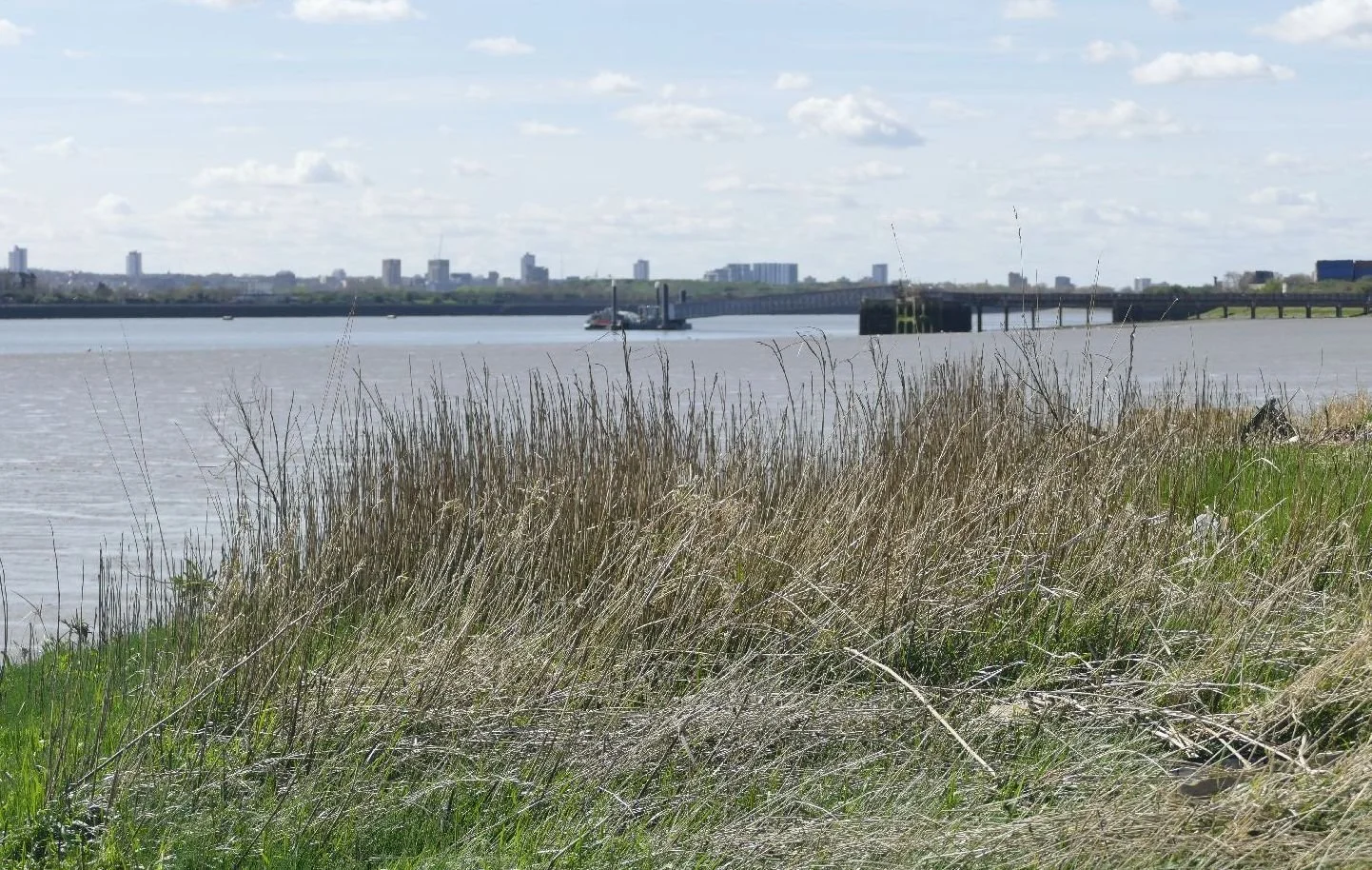
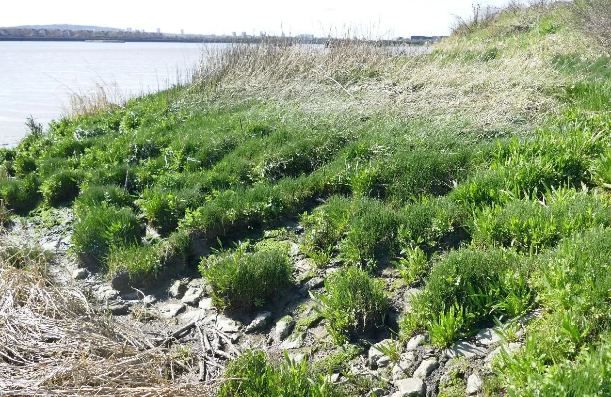
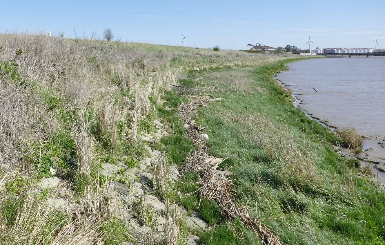
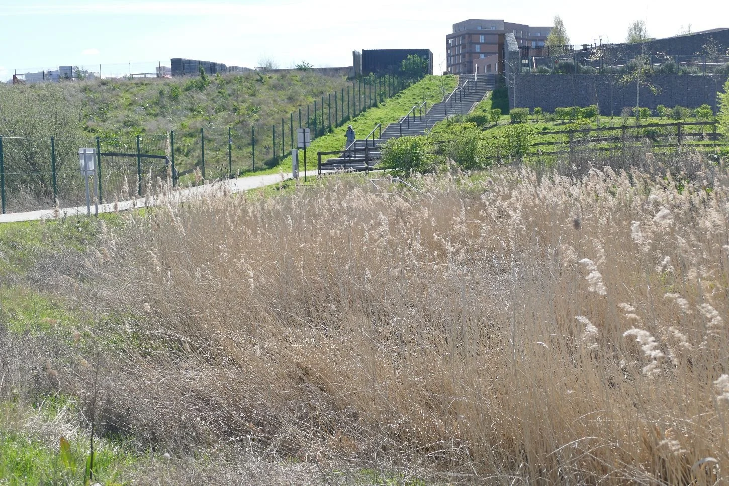
Once on the foreshore we can see the fabulous potential of the site for wellbeing, exercise, views, wildlife, art, education and just having fun. But, and it’s a big ‘but’, this will depend on the designers, the health and safety issues, wildlife management, flood control, underlying pollution, adjacent developmet and so on.
There is a big risk that path 47 will become an elegant, or worse an ugly, promenade constucted from hard material and with reduced access to the ‘soft’ water front itself.
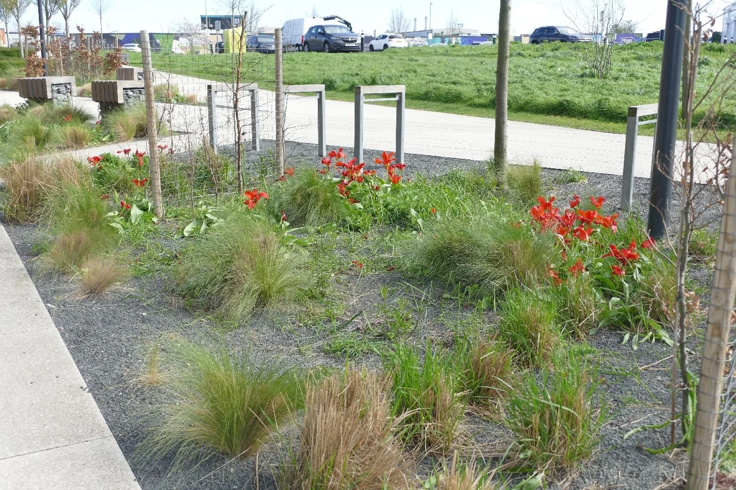
At the moment this is what Path 47 can offer on a sunny day:
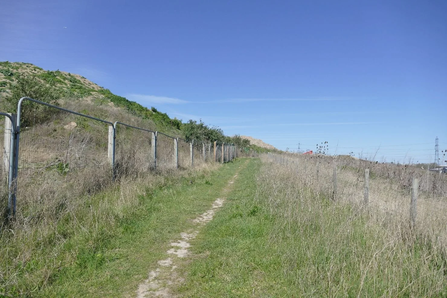
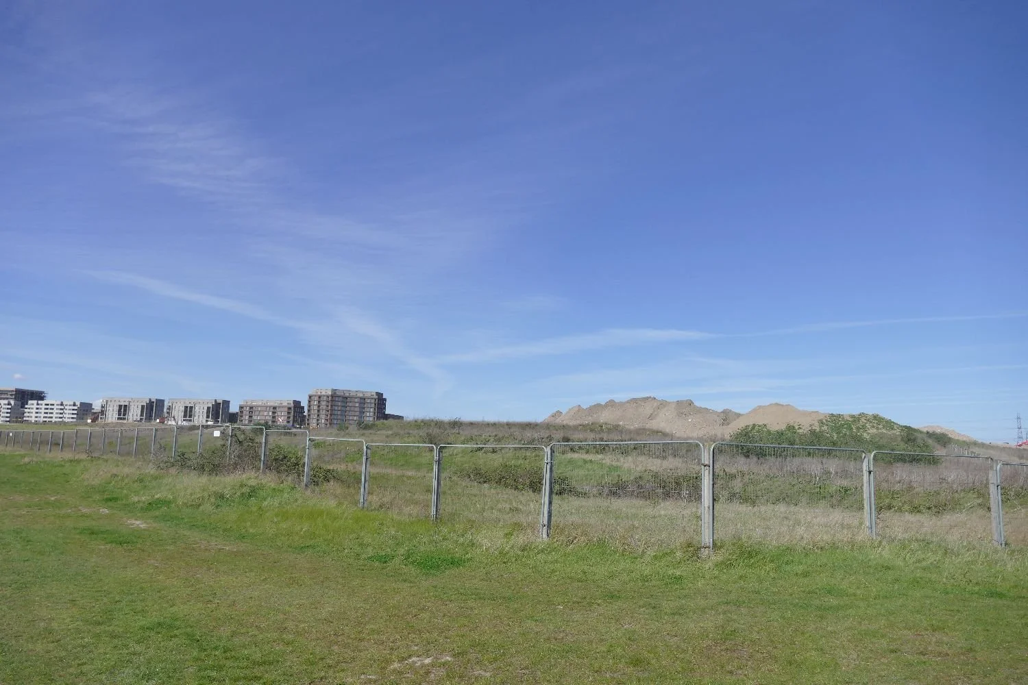
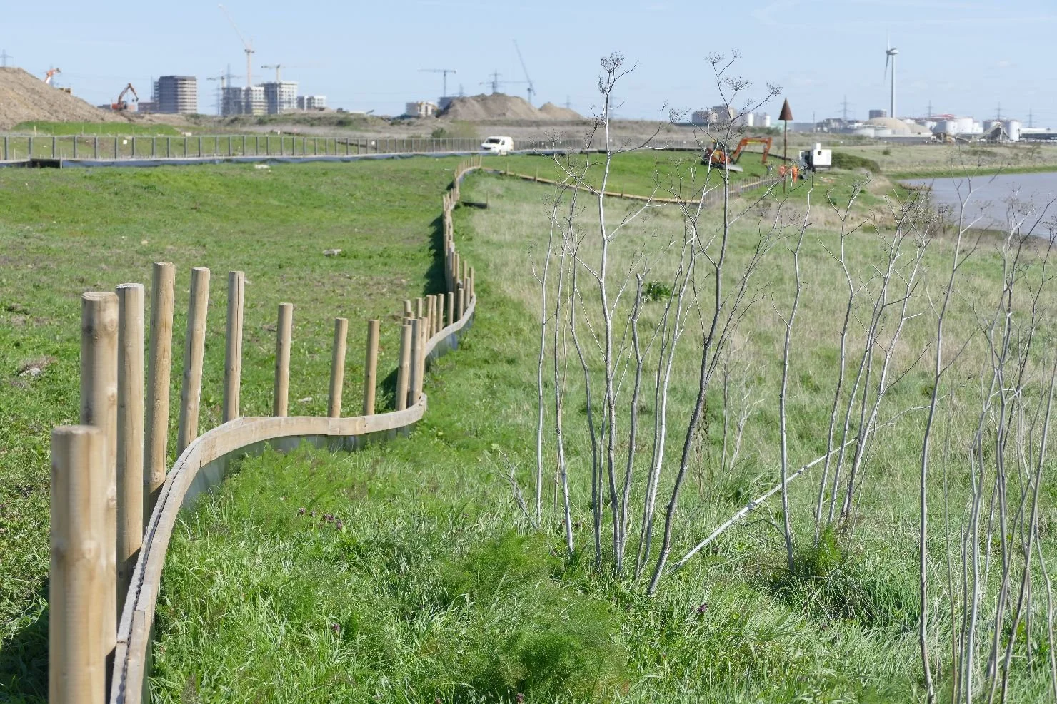
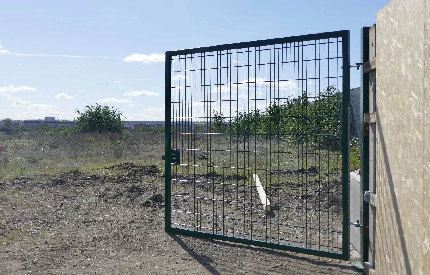
The ‘nature fence’, by the way is a very necessary adjunct to an ecologists contribution to a construction site. It’s other name is a ‘newt fence’ as these barriers control the movement of smaller animals. It works both ways: amphibians found within the construction site can be relocated to a safe area on the other side. It also stops them moving back - nothing upsets a construction programme more than a pond full of newts lurking where the diggers need to go.
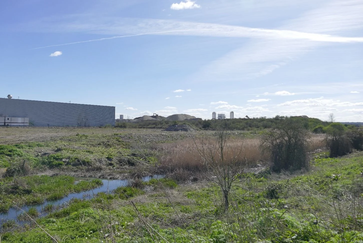
By now we have reached a small water way which separates the Riverside site from the edge of Dagenham. Google maps tells us that this creek is called the Gores and it a somewhat troubled stream with development and its rubble disrupting its valley from both sides. We scramble through the ‘Gores gap’ and emerge onto Choats Road which forms the northern boundary of Barking Riverside.
We feel that Choats Road has also altered its appearance as the Riverside site rises quite steeply to its south, contours which we suspect have been exaggerated by the need to raise the development platform above its polluted base.
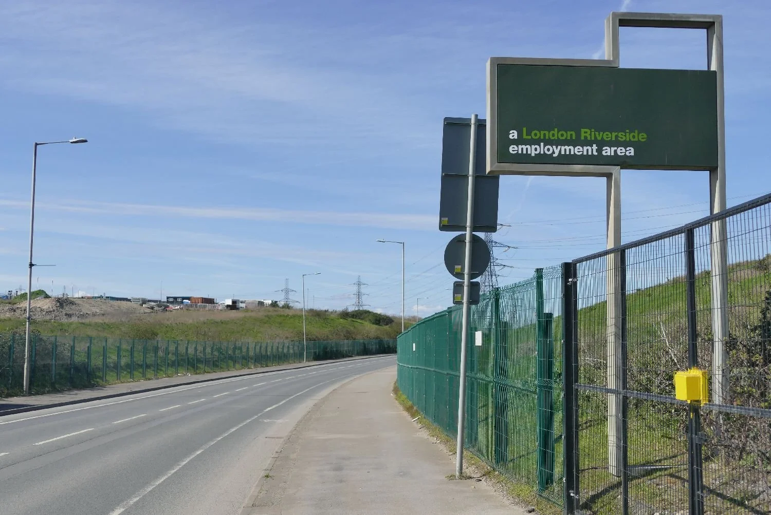
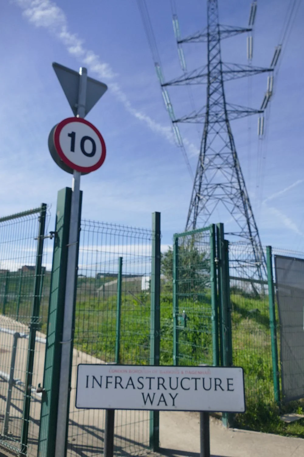
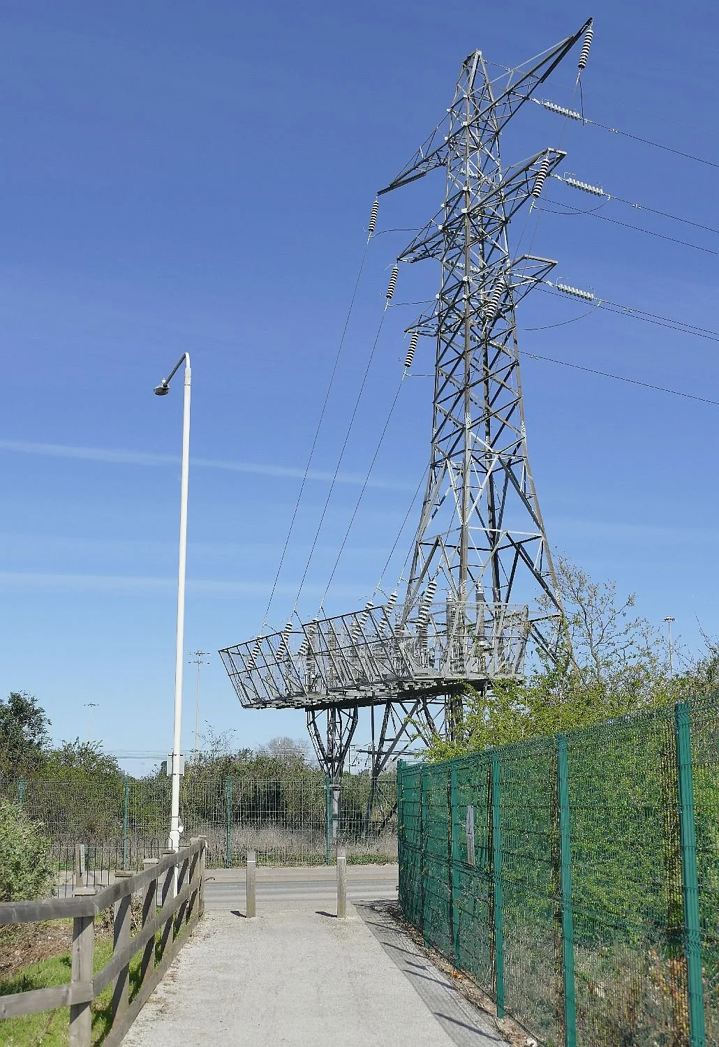
There are many signs of former uses along Choat road including some rogue flora, huge pylons necessary to carry the product of fomer power stations and some interesting signage.

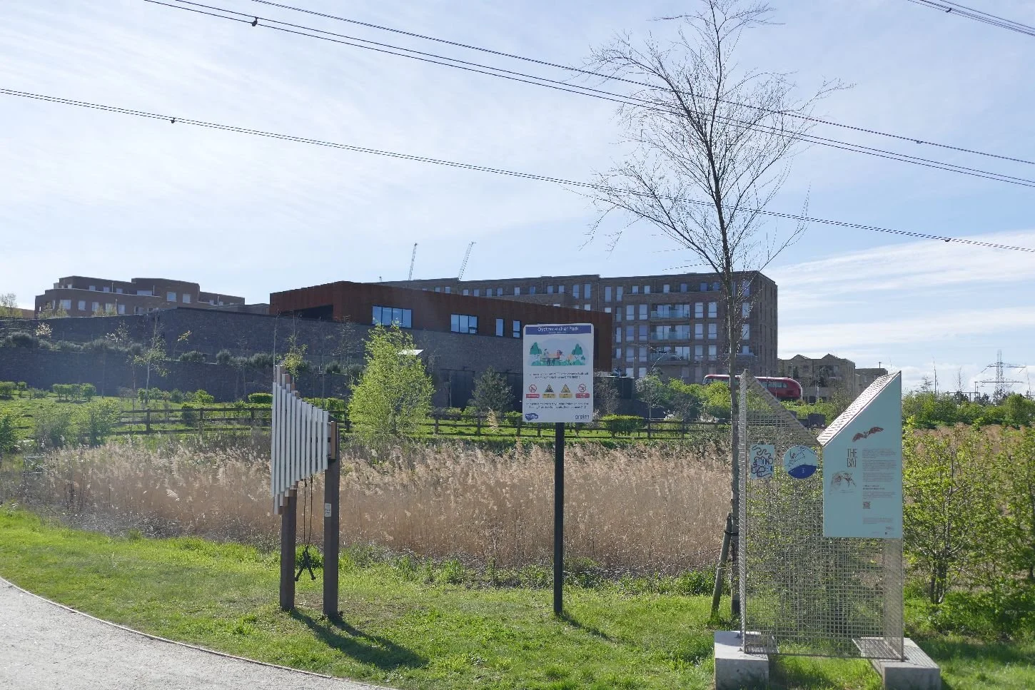
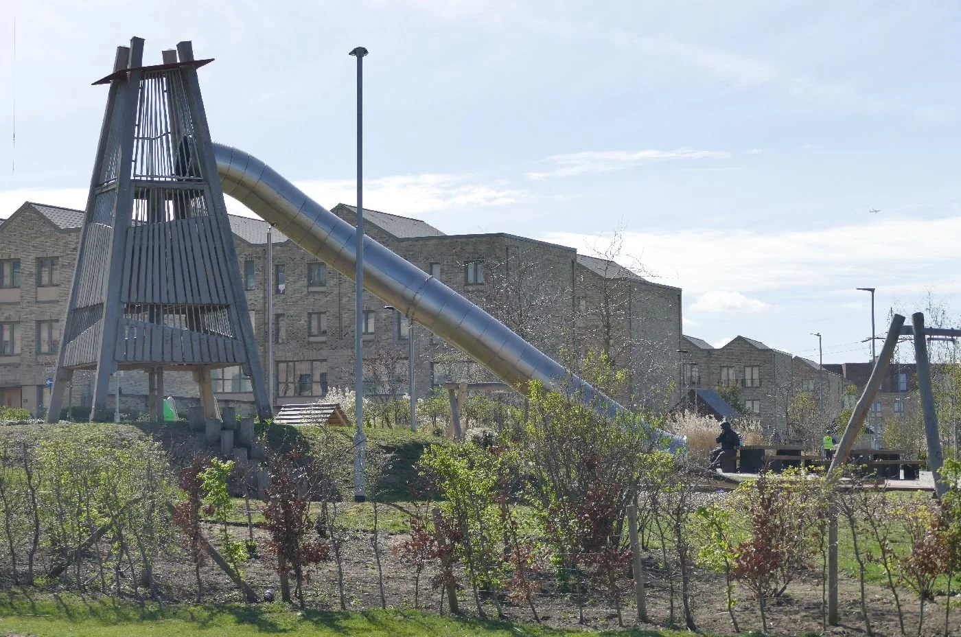
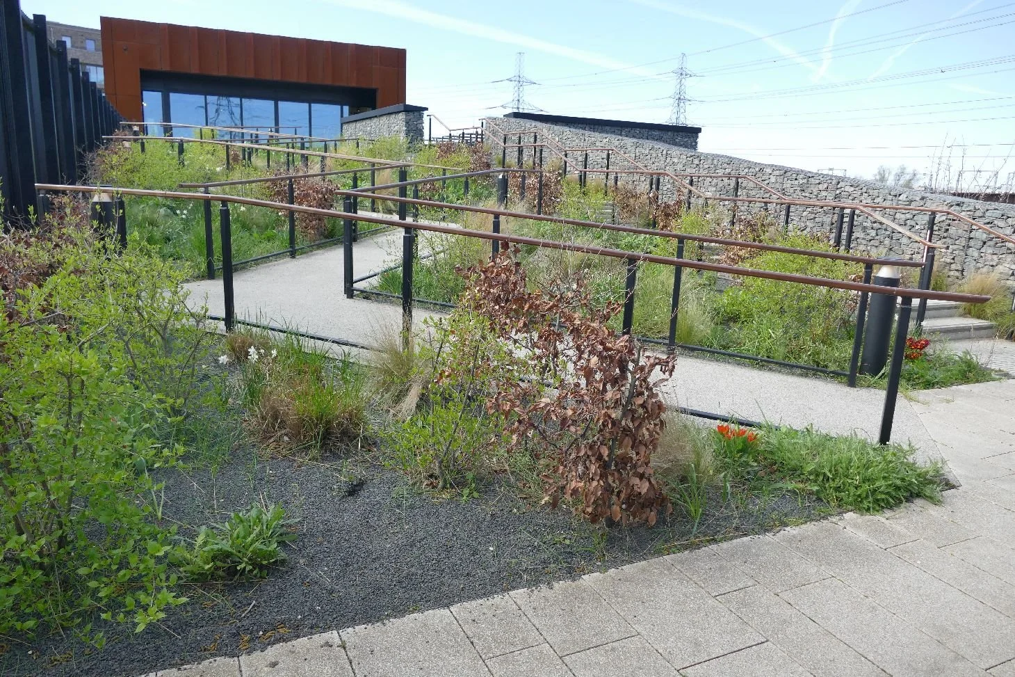
We are now entering the earlier phases of Barking Riverside. The buses still look lonely but they rapidly fill up with passengers once they cross the border and enter the outskirts of Barking. Their time will come. The play area has an interesting and perhaps appropriately industrial feel and was in use when we passed by.
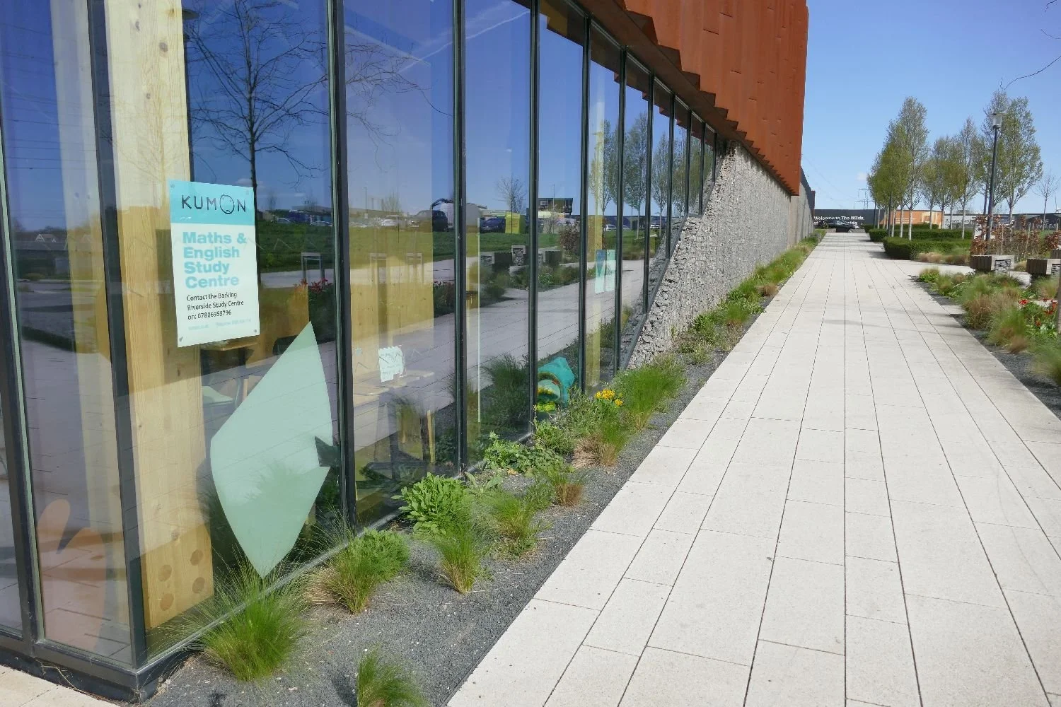
The cafe is excellent and the adjacent attempts at planting and public open space are admirable - as long as they get some quality maintenance.
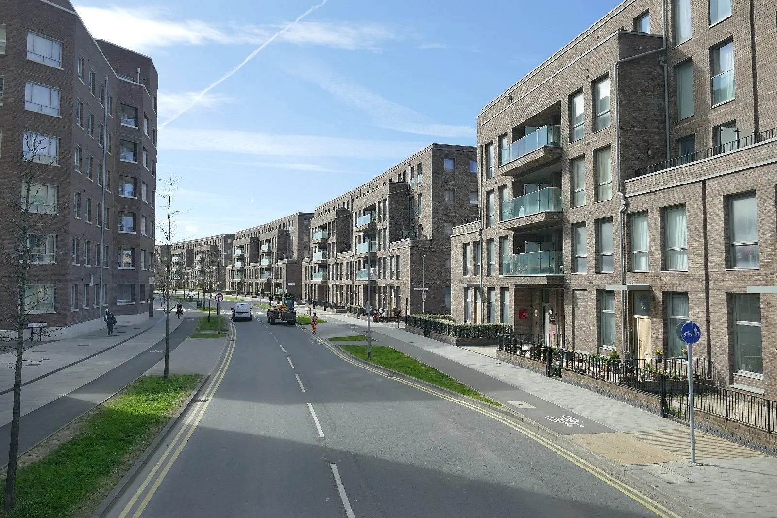
But the architecture and townscape? Apologies if we missed the good bits, but the little bit we saw was - appallingly dull. Oh dear.